
A Hand Book of Map Drawing Adapted Especially to the Maps in Mitchell's New Series of School Geographies.
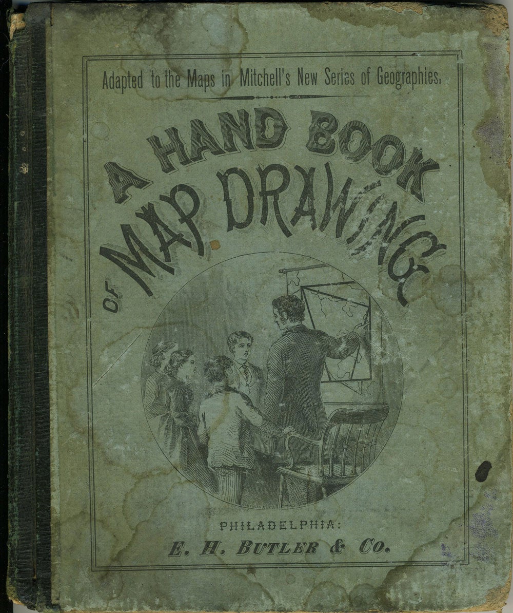
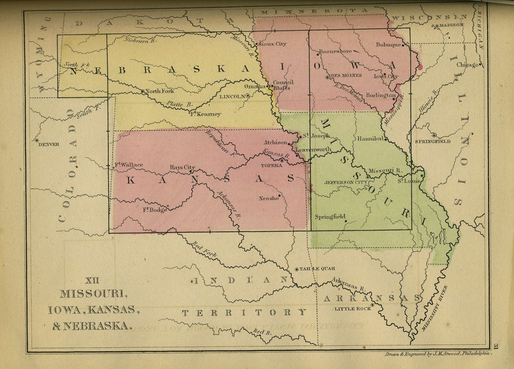
Philadelphia: E. H . Butler & Co, 1869. Hardcover. Instructional book of maps, steel engravings by J. M. Atwood of Philadelphia, with original color. With geometric shapes on the left hand page and map with the geometric shapes superimposed on the right hand page. A learning aid for map drawing, using geometric figures such as squares and triangles to teach students the rough outline of an area. With the map of the United States showing present day Oklahoma as "Indian Territory" and with the Baja Peninsula labeled "Lower California". With 25 color engraved maps, most of the United States, but also including a Western and an Eastern Hemisphere, and maps of Europe, Asia and Africa. Sml square 8vo, 57pp, engraved color maps throughout. Quarter dark green cloth with illustrated stiff paper boards. Illustration at front cover showing a teacher using a map with geometric figures overlaid to instruct students of geography. Covers rubbed and marked with damp; inside rear board quite rippled with damp. Owner name inside front cover, front free end paper lacking, very top edge of pages marked by damp. Good +. Item #17340
Price: $65.00