
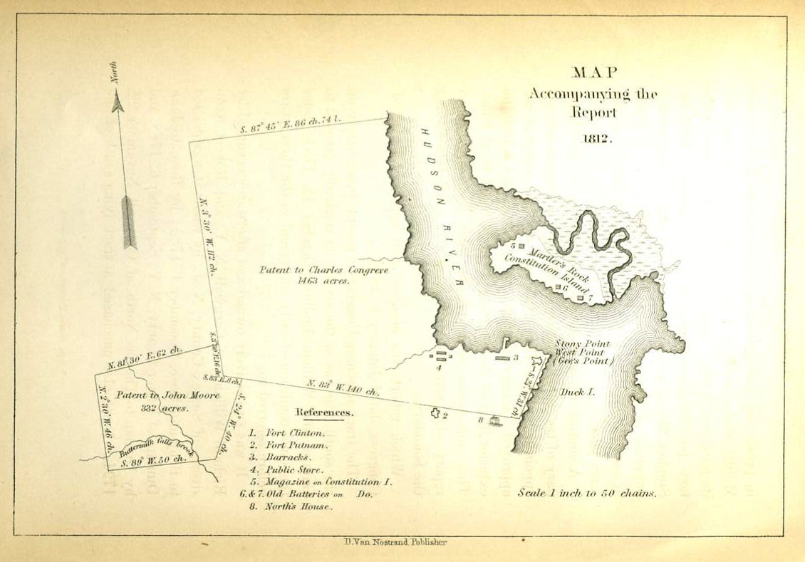
Map Accompanying the Report. 1812.
New York: D. Van Nostrand. Showing the Hudson River with the site of the military academy designated "Stony Point, West Point, (Gee's Point)" and showing the Barracks and Public Store. With the Charles Congreve patent shown as 1463 acres; the Patent to John Moore 332 acres; and with a table of references of 8 items, including: Fort Clinton, Fort Putnam, Magazine on Constitution Island; Old Batteries; and North's House. Scale 1 inch to 50 chains. Across the Hudson from West Point lies Martler's Rock, Constitution Island. From Boynton's History of West Point. 7 1/4 x 5" Very good condition. Item #17356
Price: $75.00
See all items in
HUDSON RIVER,
WEST POINT
See all items by West Point, W. S. Barnard