
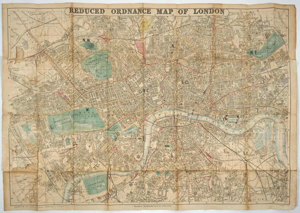
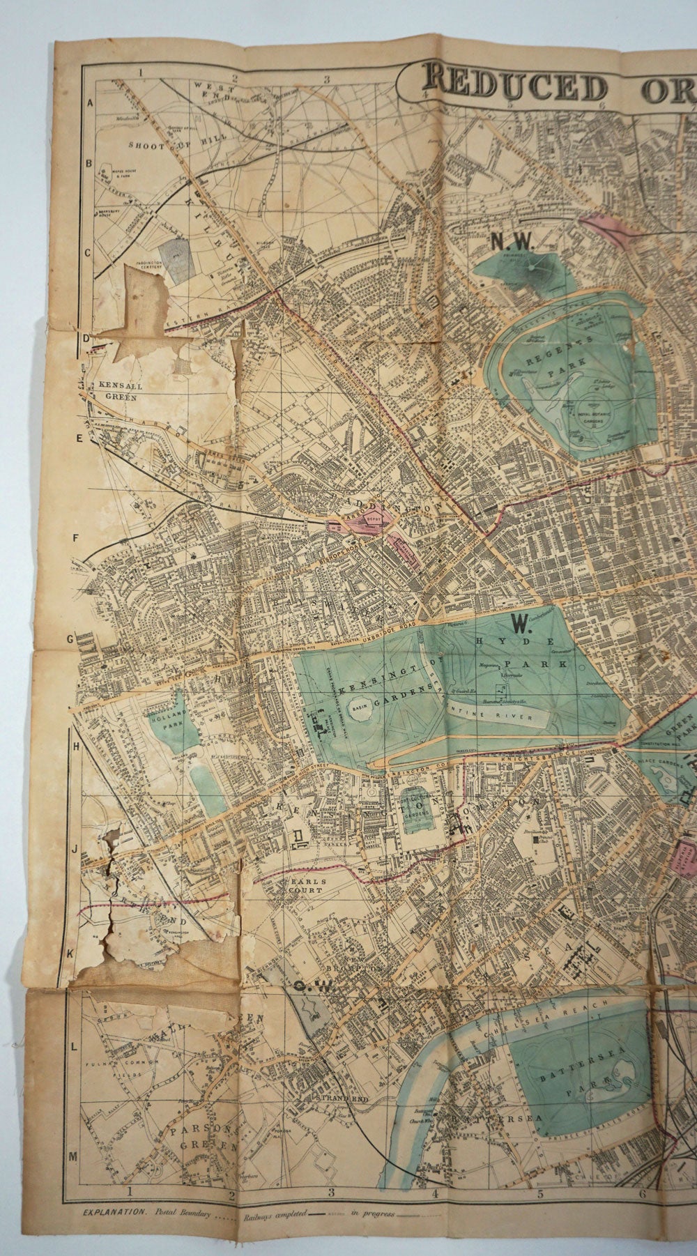
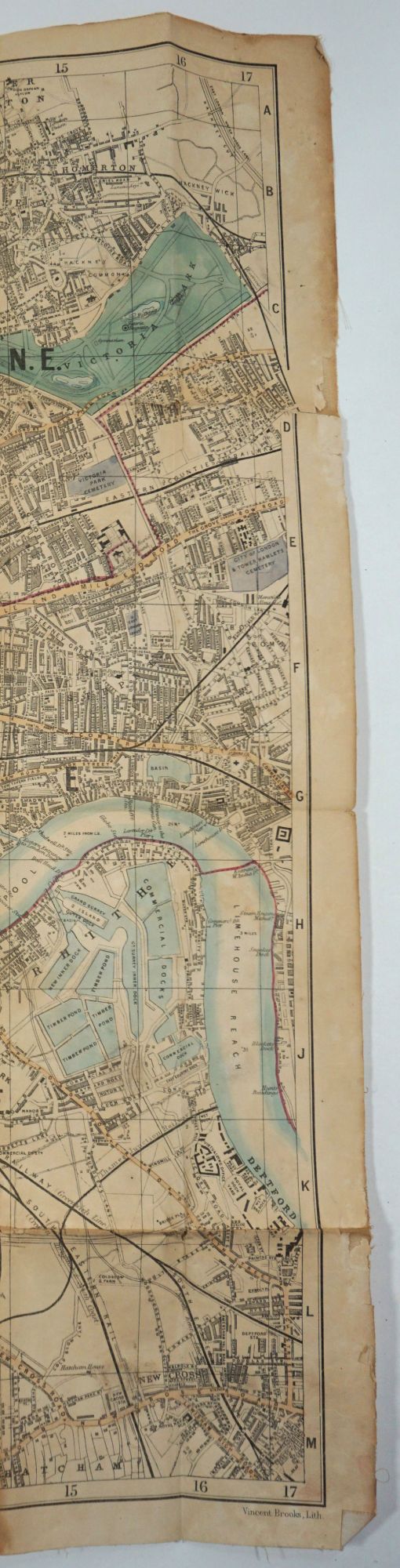
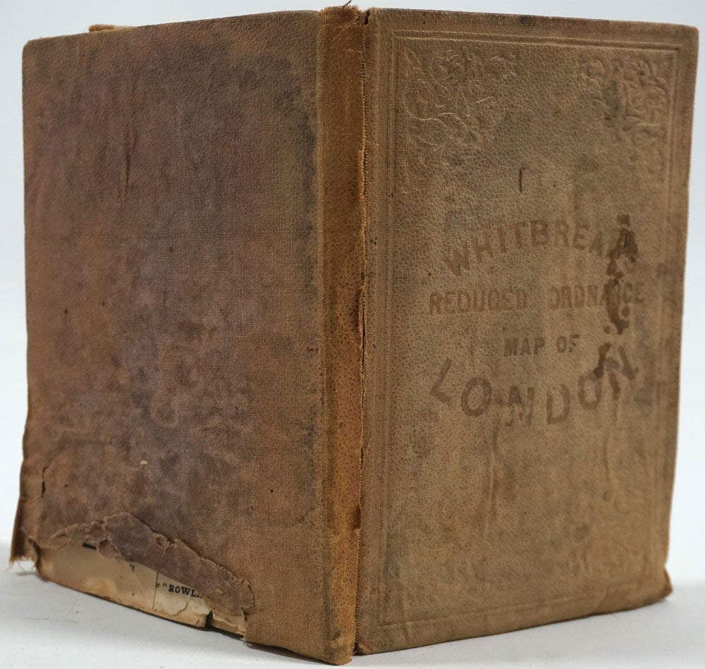
Whitebread's Reduced Ordnance Map of London.
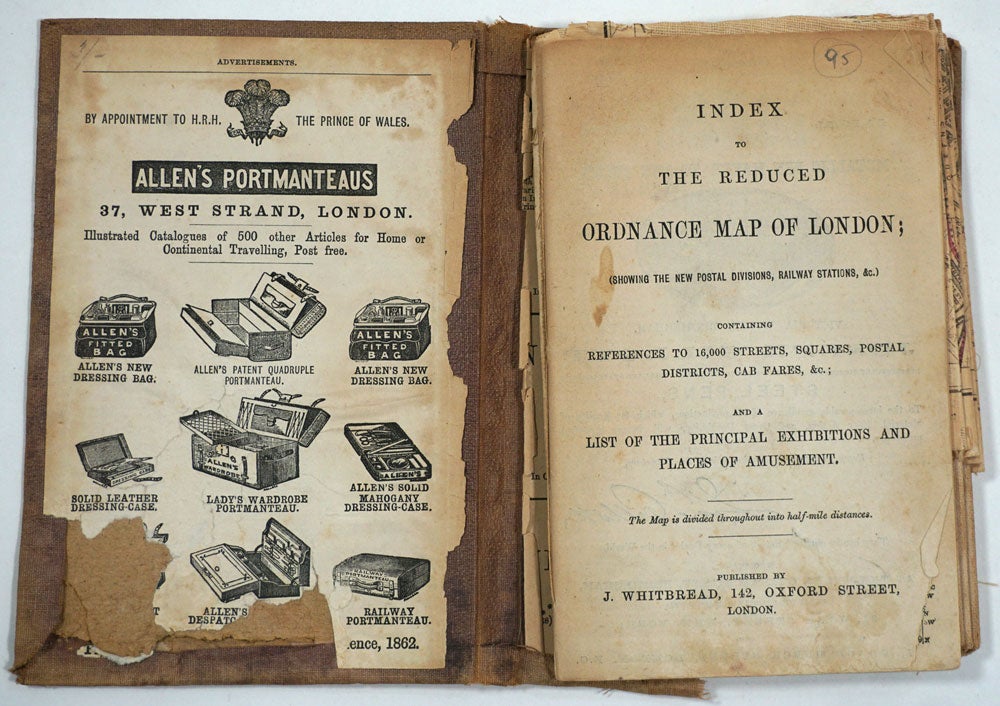
London: J. Whitbread, 1867. A detailed folding pocket map showing the London area from West End in the northwest to Parsons Green in the southwest, New Cross the southeast and Clapton in the northeast. A very detailed map with roads, parks, and building names. Includes a 41pp index with stitched binding "Index to the Reduced Ordnance Map of London; showing the new postal divisions, railway stations, &c. containing References to 16,000 streets, squares, postal districts, cab fares, &c. and a List of the Principal Exhibitions and Places of Amusement."
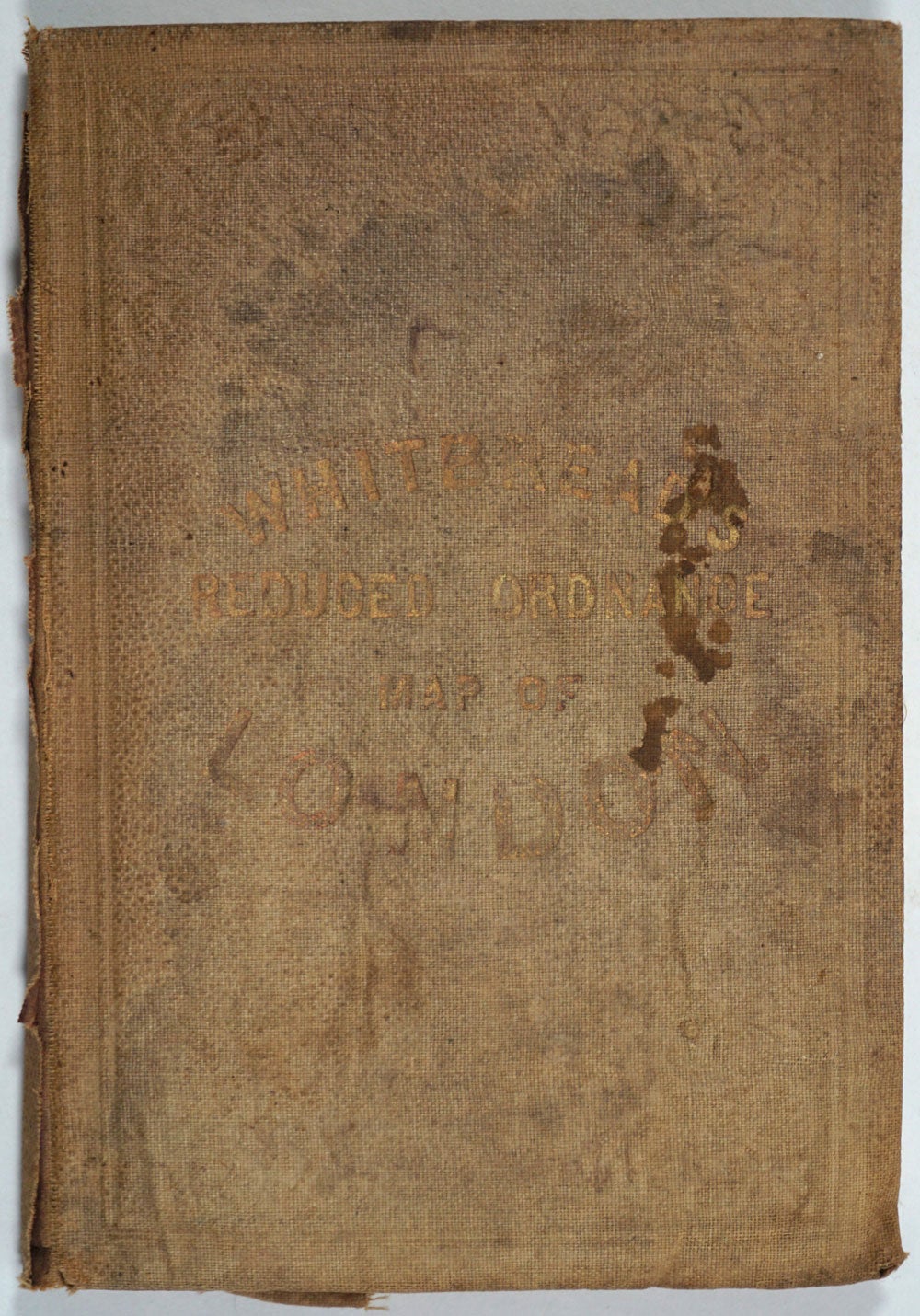
Map size 33x23", backed on linen, folds to 4.5x6.5" into original tan paper boards. Covers in poor condition, dusty, marked, spine cracked, with loss of cardboard (beneath cloth) at front bottom edge, and rear lower quarter. Map has splits at fold and loss at left side at C1, J, K, L1, and on right edge. Still, a unique map of its kind. Good -. Item #22459
Price: $75.00