
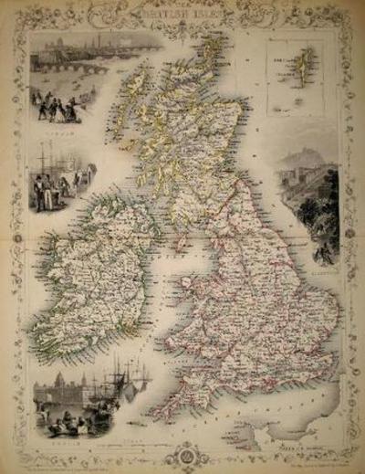
The British Isles, antique map with vignette views.
London: John Tallis & Co., 1854. Maps. Steel engraved map from the famous Victorian publisher John Tallis, well-known for the attractive vignette views surrounding the maps, which illustrate the peoples & customs of that region. 10 x 13 1/2" plus margins. Attractive decorative border around edge, period outline color, very good condition. Item #13573
Price: $300.00
See all items by J. Tallis Rapkin, John