
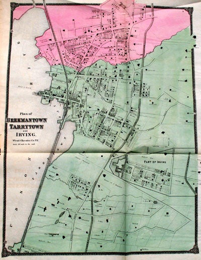
Plan of Beekmantown, Tarrytown, and Irving.
New York: F. W. Beers, 1867. 23 by 24 inches engraved map on onion paper. This is from the Beers atlas that includes Westchester, Putnam & Dutchess County, which is unusual. Very good condition. Very good. Item #13680
Price: $145.00
See all items in
MAPS
See all items by F. W. Beers, Geo. Warner