
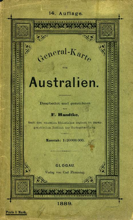
General-Karte von Australien, color folding map.
Glogau, Germany: Druck und Verlag von Carl Flemming, 1889. Map of Australasia and Oceania, showing territorial possessions, German and non-German shipping routes, overland telegraph and railways. With an inset of British New Guinea: Kaiser Wilhelms Land and the Bismarck Archipelago. Color map measures 35 inches wide by 28 inches high. With green print paper wrappers, detached. Map has been repaired on verso at corners and at fold marks with archival tissue tape. Trove 43854661 mounted on linen, though this one is paper only. Good. Item #13700
Price: $175.00
See all items in
AUSTRALIA
See all items by F. Handtke