
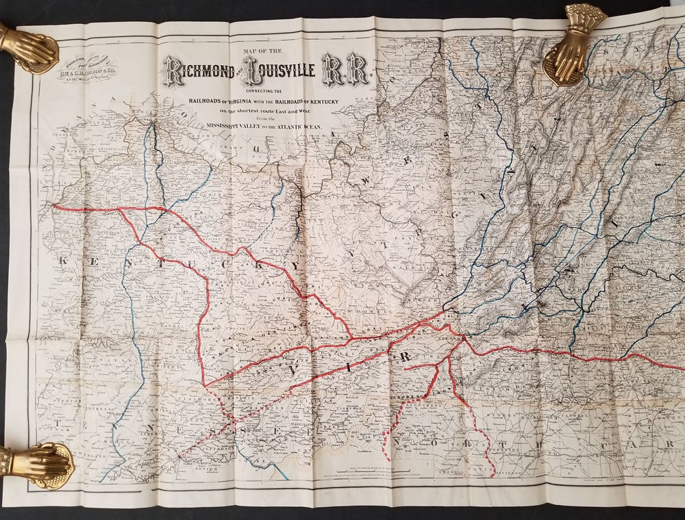
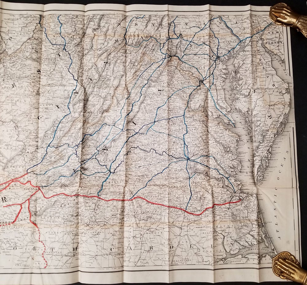
Map of the Richmond and Louisville Railroad, Connecting the Railroads of Virginia with the Railroads of Kentucky on the Shortest Route East and West from the Mississippi Valley to the Atlantic Ocean.
182 William Street, New York: Colton & Co., 1882. This is a splendid production regarding its size and detail, delineating the routes available throughout Kentucky, West Virginia, and Virginia with connecting routes in North Carolina and Pennsylvania shown. The scale is 12 miles to the inch. Timber and coal regions are noted along the cities, railroad connections and the railroads lines are colored in blue and orange. Lithographed map, folded into stiff tan card wrappers with the title on the cover with a very little marking on it. Overall a fine copy. OCLC: 38717043 records only 1 library holding a copy. Item #15634
Price: $450.00