
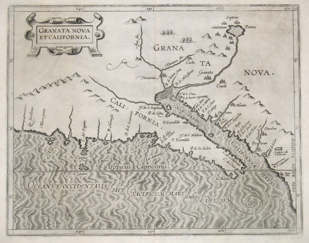
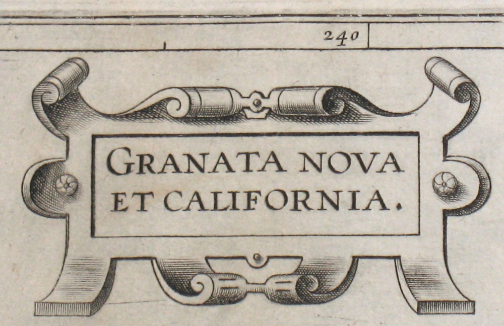
Granata Nova et California.
Louvain, Belgium: 1597. A rare early map, the first map made of the California peninsula and the American southwest. First and only state. From Wytfliet's atlas, 'Descriptionis Ptolemaicae augmentum, sive Occidentis notitia brevi commentario illustrata', the first printed atlas devoted exclusively to the Western Hemisphere. With an unusual westward orientation; in present day California, "Los Farallones" (Farallon Islands) are shown, as well as Tierra prata (Meadowlands), the Channel Islands as "Y. de Cedri". In present day Arizona, one sees the towns of Axa and Totonteac, each on a river, corresponding to the Colorado and Gila Rivers; with a large imaginary unnamed river in the east. With a strapwork cartouche and strikingly engraved water. No text on verso. A crisp, dark impression of a rare map, in very good condition. Image size: 11 1/2 x 9". Paper size: 13 x 11". References: Burden 106; Wheat 29. Item #15940
Sold