
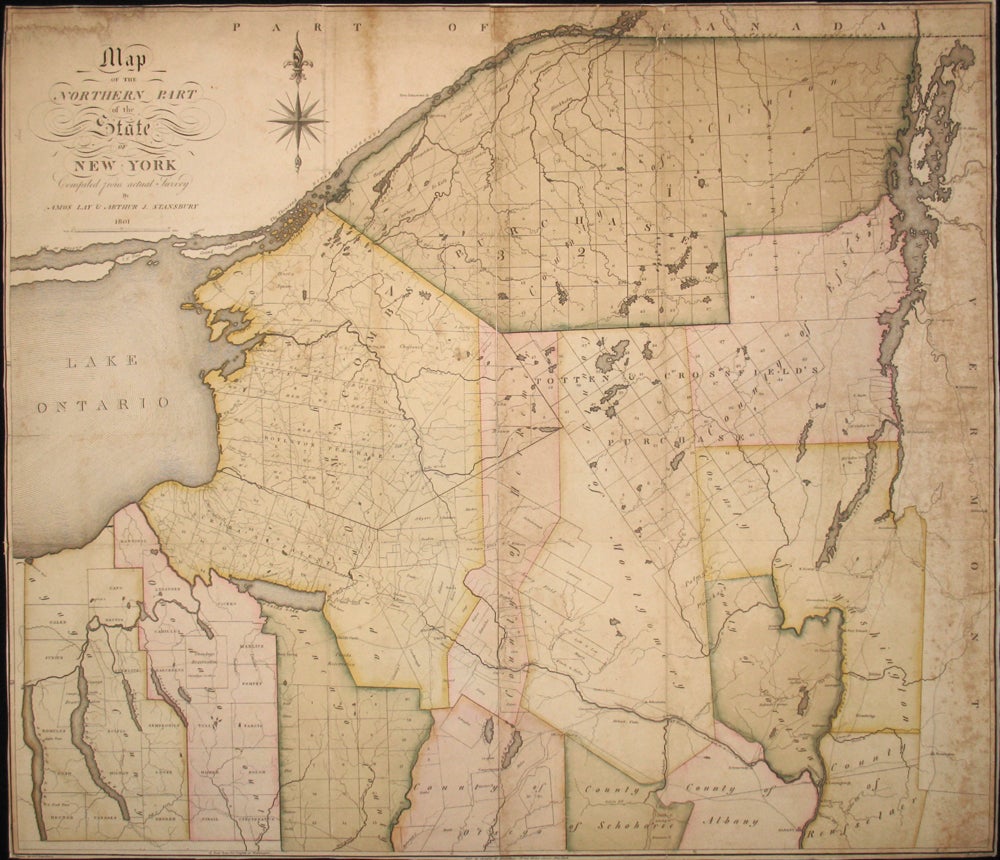
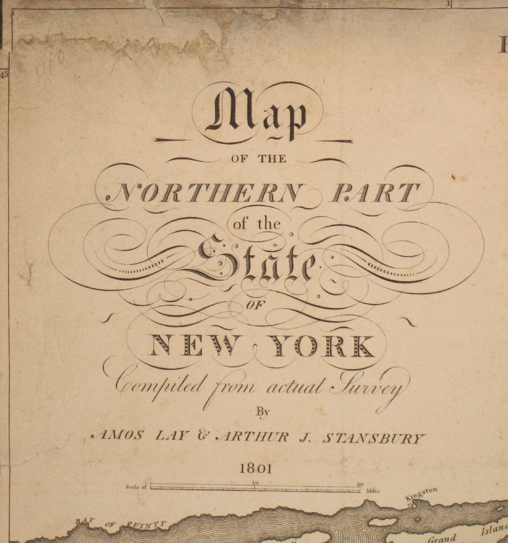
Map of the Northern Part of the State of New York Compiled from actual Survey by Amos Lay & Arthur J. Stansbury 1801.
New York: 1801. First edition. One of the first detailed regional American maps and a fine example of early native American cartography. The map of upstate New York extends from Clinton County New York and the St. Lawrence River in the north to Albany in the south, with Lake Ontario in the west and Lake Champlain and the edge of Vermont in the east. With good detail, including land purchases, townships, lakes, rivers, and roads. Drawn by A. J. Stansbury, engraved by Roberts. Copper engraved map, lifted off original linen and professionally backed with rice paper, with narrow margins, original color, as issued. A few small areas of missing paper at folds, some faint staining, good condition overall. Ristow p99; 103. 7. Item #15947
Sold