
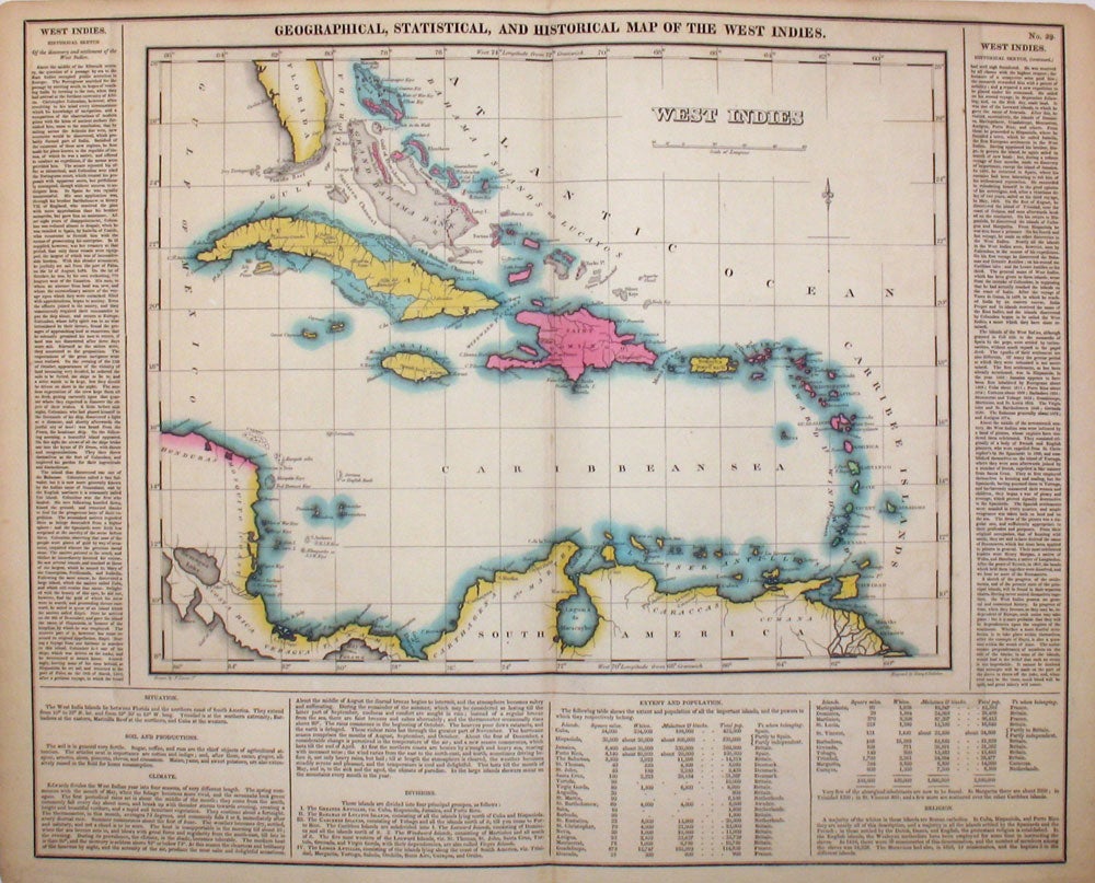
Geographical, Statistical, and Historical Map of the West Indies.
Philadelphia: 1823. Fine original hand colored map of the West Indies from the first edition of Carey and Lea's 'A Complete Historical, Chronological, and Geographical American Atlas, being a Guide to the History of North and South America, and the West Indies . to the Year 1822', the best atlas of nineteenth century America. Extending from the Bahamas and Cuba to Trinidad and Tobago, and showing many towns. With text on two sides and below map, pertaining to topography, climate, lands, towns & ports, government and history. Howes C133. Image size: 20 3/4 x 16 1/2" on paper 22 1/4 x 17 1/2" Very good condition. Item #15964
Price: $250.00
See all items in
MAPS,
NATIVE AMERICAN