
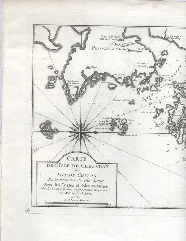
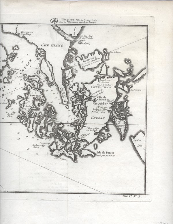
Carte De l'Isle de Cheu-Chan ou Isle de Chusan de la Province de Che-kiang Avec les Cotes et Isles Voisines.
Paris: 1750. Ca. 1750. Eighteenth century map of the eastern Chinese province of Chekiang with the island of Chusan and the islands of the Chusan archipelago. From Tome VI of Abbe Prevost's Historie Generale des Voyages. Includes 'Kimp-tong' island (with the following note "Isles ou les Mandarins disgracies se retirent" (island where disgraced Mandarins withdraw), and the 'Ning-po' River. With north oriented to the right. Uncolored, with compass rose. Size: 13 x 9". Very good. Item #16021
HK1300.
Price: $175.00
See all items by China, Nicolas Bellin