
Virginia.
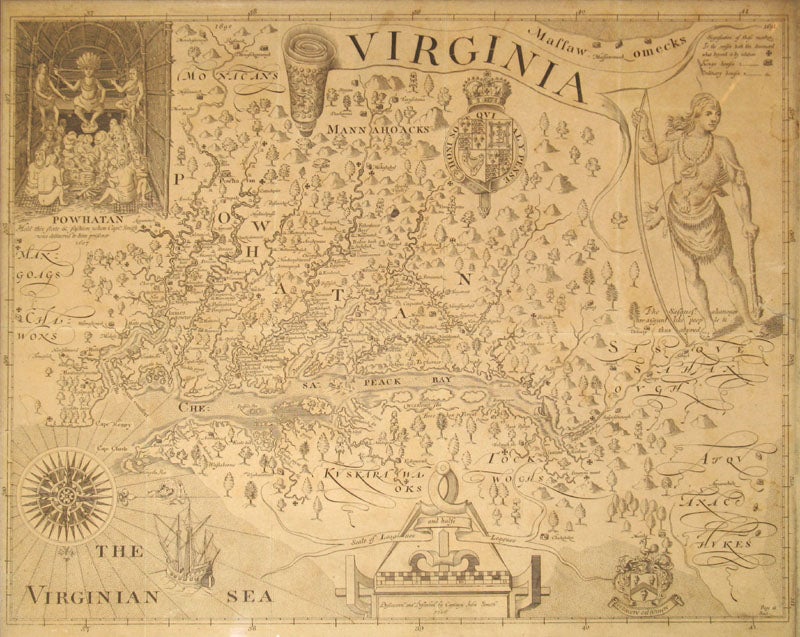
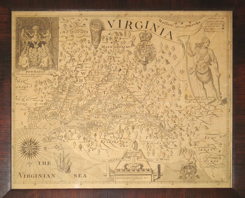
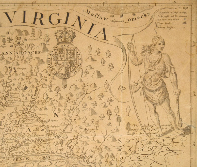
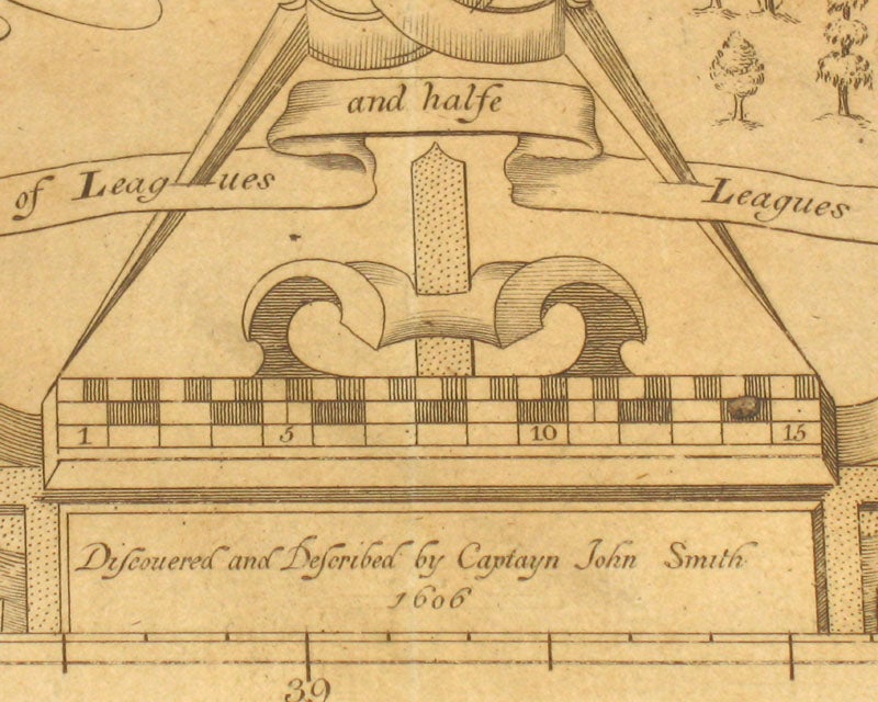
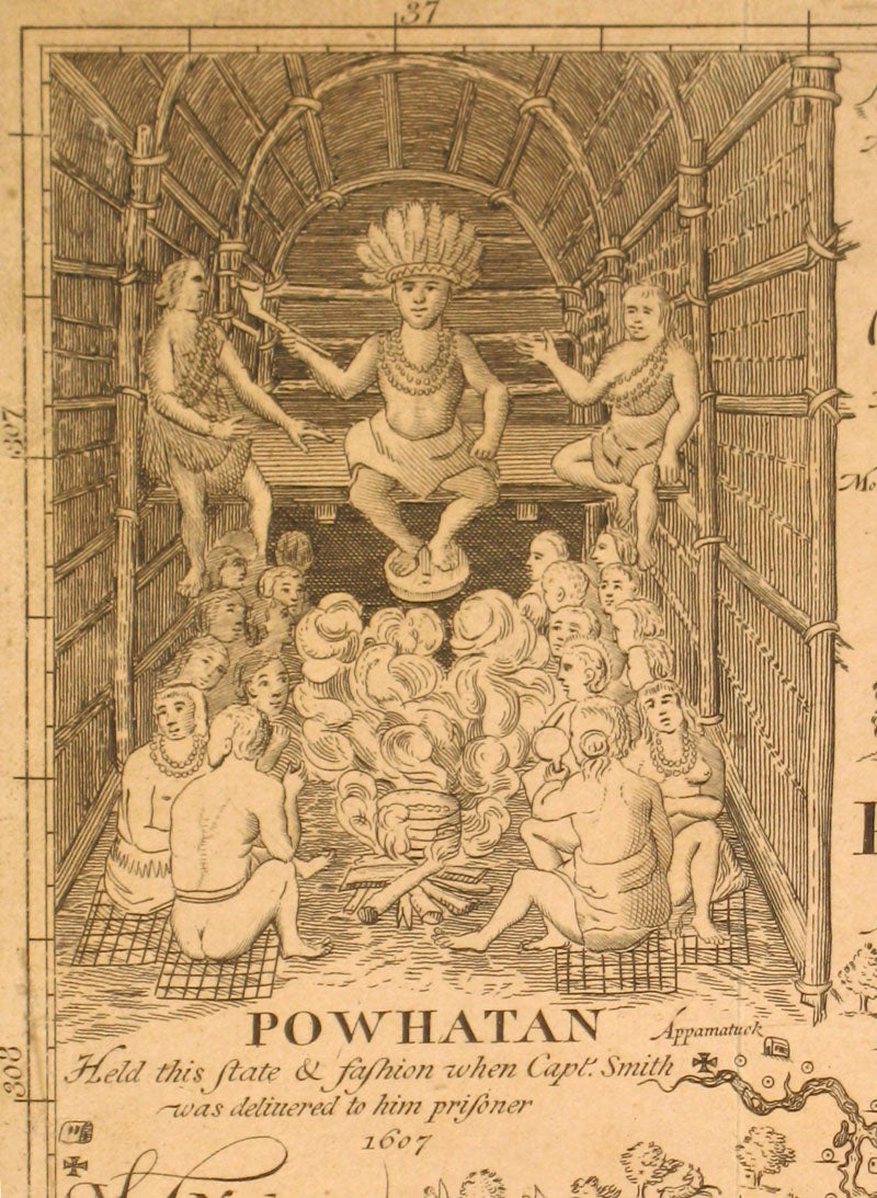
Richmond, Virginia: 1612/1819. A very important map of colonial Virginia and the Chesapeake Bay, the most detailed and accurate one of this coastline for many years, and the source for most later printed maps of Virginia. This classic map is oriented to the west; addition to the Bay, it shows four large rivers, the Powhatan, Pamunk, Tappahannock, and Patowomec (now the James, York, Rappahannock and Potomac rivers), with small Maltese crosses indicating the point on each river to which the exploring parties actually traveled. With more than one hundred and fifty Native American villages named. This is the tenth state from the original plate, engraved and printed in Richmond in 1819 (Philip Burden, 'The Mapping of North America' p203). With an inset of Powhatan's council with John Smith as honored captive at the upper left; a royal coat of arms below the title banner; an illustration of a Native American holding broadaxe and bow at the right ("the Sasquesahanougs are a Gyant people & thus atyred"); a scale of leagues and half leagues at the bottom; "The Virginian Sea", compass rose, sailing ship and sea monster at the lower left corner. Laid down on thin artboard, with original folds visible; very good overall. In an early dark wood frame with glass, 20 1/4 x 17" Item #16540
Price: $1,750.00