
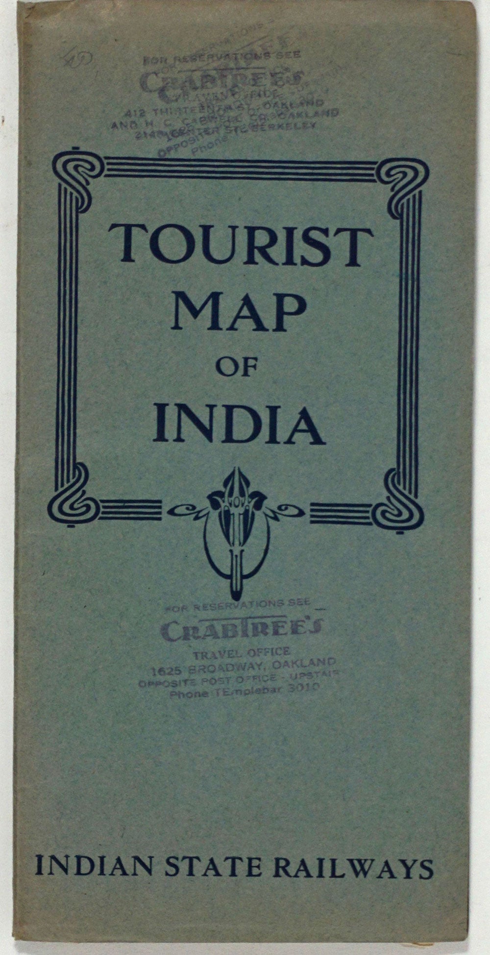
Tourist Map of India. Indian State Railways.
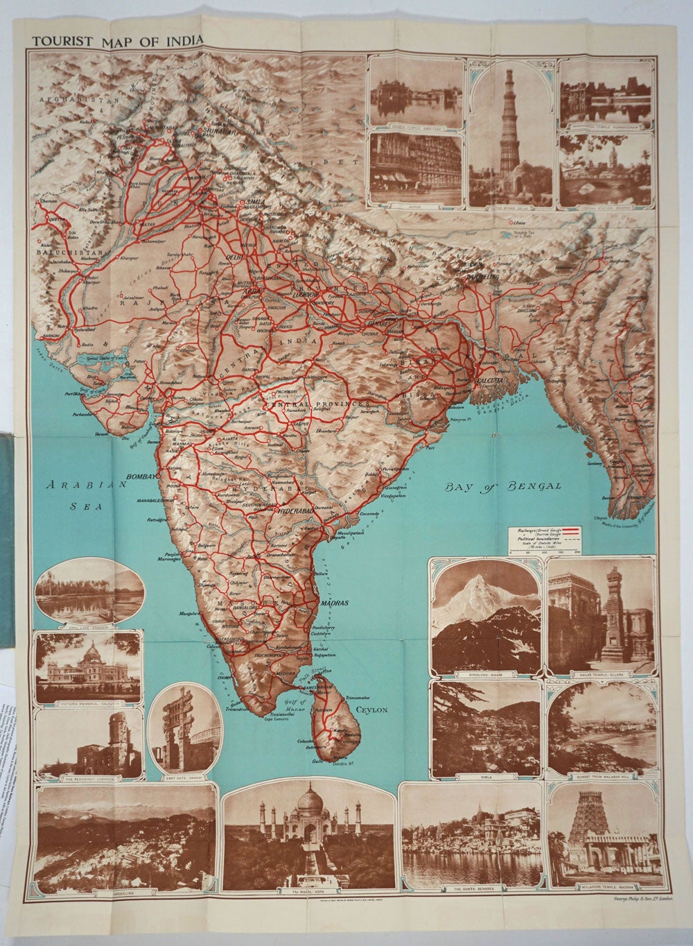
London: George Philip & Son, Ca. 1930. Large folding color tourist map of the Indian subcontinent before Partition, with no Bangladesh or Pakistan shown, extending from Tibet in the north, Burma to the east, Ceylon in the south.
Many sepia tint printed photographic illustrations of monuments and tourist sites, including: Golden Temple Amritsar; Jaipur; Kutab Minar, Delhi; Sarangapani Temple, Kumbaconam; Central Station, Madras; Siniolchu, Sikkim; Kailas Temple, Ellora; Simla; Bombay from Malabar Hill; Victoria Memorial, Calcutta; The Residency, Lucknow; East Gate, Sanchi; Darjeeling; Taj Mahal, Agra; The Ghats, Benares; and Mylapore Temple, Madras. Legend indicates broad and narrow gauge railways, and political boundaries.
With Crabtree's Travel Office, Oakland CA stamps at front wrapper. A few splits at folds; upper right panel splits repaired on verso with archival tape. 40 x 29 1/2". OCLC: 748263571. Very good overall. Item #19467
Sold