
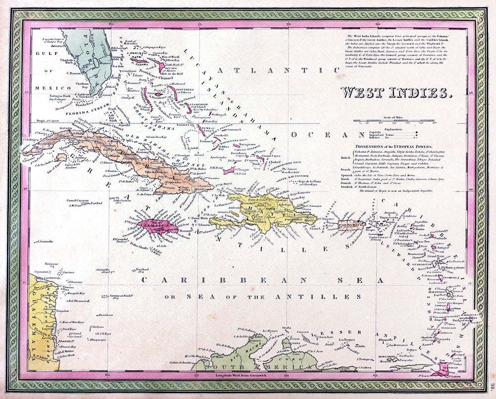
Map of West Indies.
Philadelphia: Thomas, Cowperthwait & Co., 1850. Maps. Map of West Indies. Approx. 12 1/2 x15 1/2". From the "New Universal Atlas containing Maps of the various Empires, Kingdoms, States and Republics of the World with a special map of each of the United States Plans of Cities & c." Chromolithographs with printed color. A little tanned. Very good overall. Item #20070
Price: $145.00
See all items in
MAPS
See all items by Cowperthwait Thomas, Co