
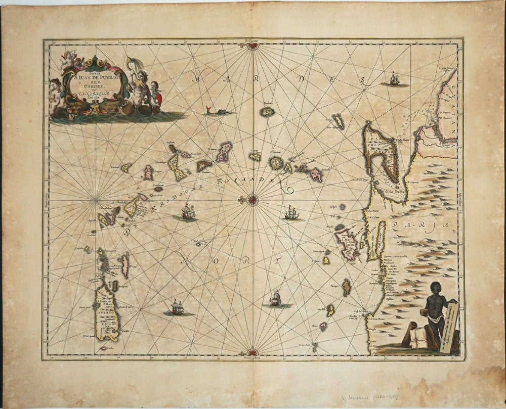
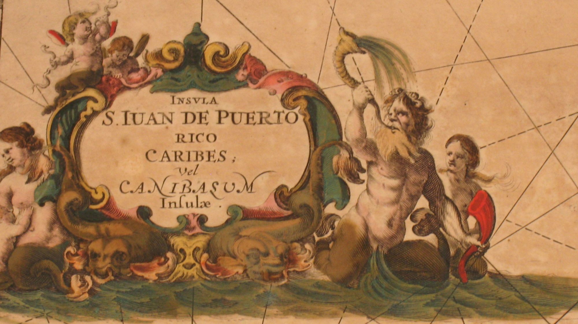
Insula S. Juan de Puerto Rico Caribes, vel Canibasum Insulae.
ca 1650. Dutch cartographer Jan Jansson's [1588-1664] map with original color featuring Puerto Rico. Includes all the islands between Puerto Rico and Trinidad down to the Coast of Venezuela. Detailed cartouche with mer-people, compass rose at center, sailing ships, and native at bottom right. Image size 20.25 x 16", paper size 24 x 20". Paper age-toned, some stains bottom right & sml. tear bottom left corner, well outside the image. Very good overall. Item #20218
Price: $1,250.00
See all items in
MAPS
See all items by Jan Jansson