
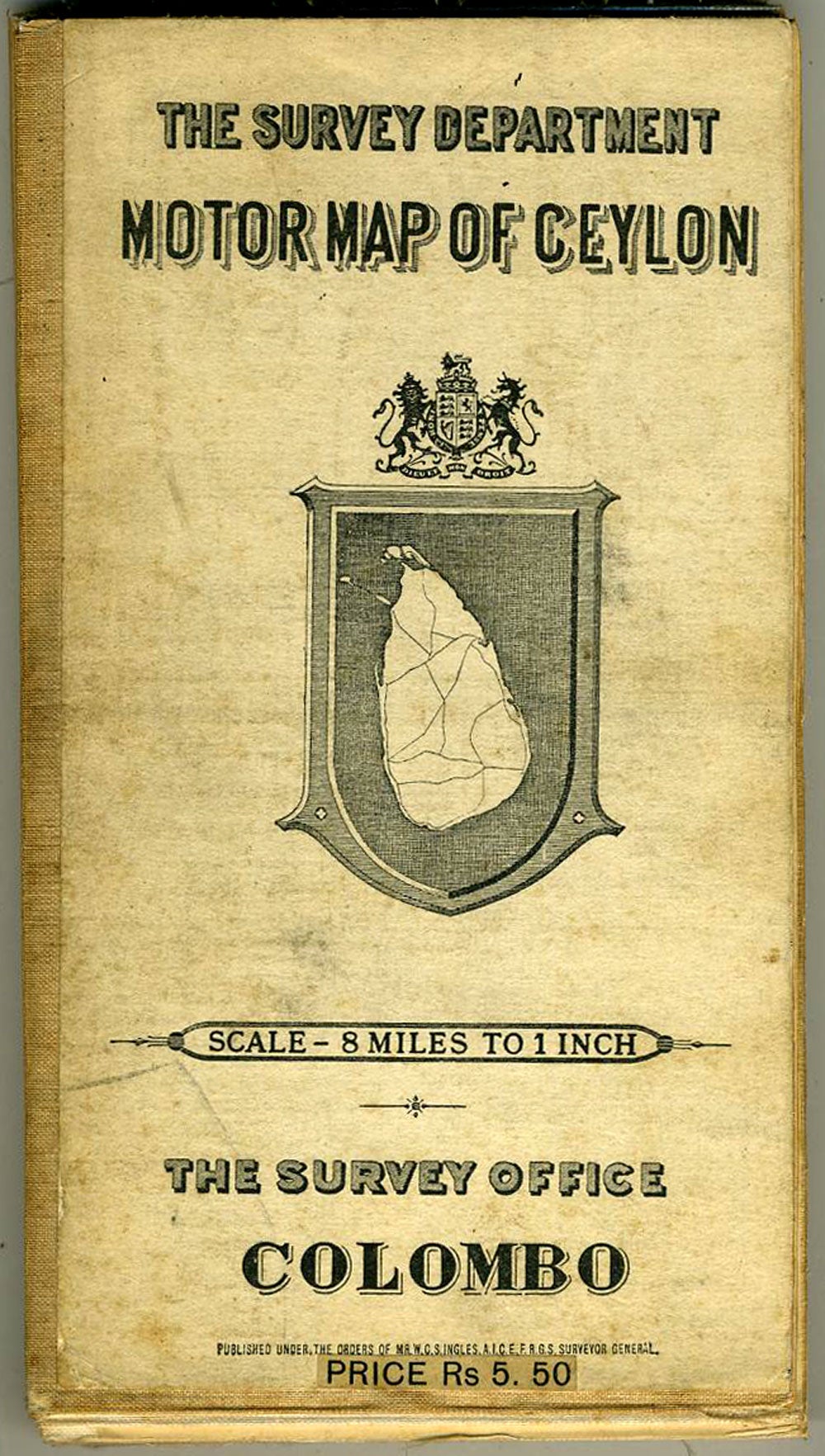
Survey Department Motor Map of Ceylon.
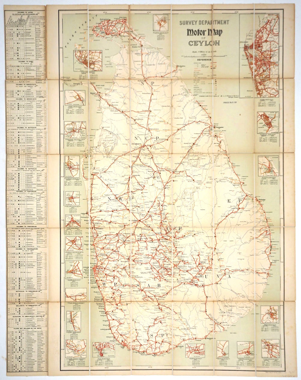
Colombo: The Survey Office, Ca. 1920. Canvas backed dissected map of Ceylon, (scale 8 miles to 1 inch), showing motorable roads in red, as well as railways, petrol depots, rest houses, telegraph offices, etc. Published under the direction of Mr. A. J. Wickwar, Surveyor General. Wickwar served as Surveyor General from 1923 - 1927. With 21 inset city plans, including: Kandy, Anuradhapura, Nuwara Eliya, Jaffna, Trincomalee, Batticaloa, Matara, Ratnapura, Chilaw, Negombo, Kurunegala, Badulla, Nawalapitiya, Galle; with the largest at the upper right, of Colombo. With a Table of Distances measured from the loading platforms at railway stations to places of interest. Unfolded, measures 29 x 37". OCLC 316355319. Very good condition. Item #20383
Sold