
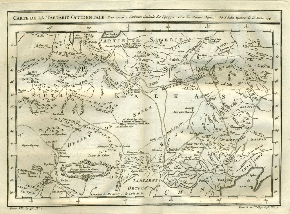
Carte de la Tartarie Occidentale.
Paris: 1738 - 1775. Detailed copper engraved map of northeast Asia and Siberia, from Lake Baykal (sic), Partie du Siberie in the north, Pays des Kalkas at the center, as well as Desert de Sable, and down to Chine and the Golphe de Lyau-tong. From Prevost's "L'Histoire Generale des Voyages".
Bellin (1703 - 1772), one of the most noted French mapmakers of the 18th century, was named the hydrographer (chief cartographer) to the French Navy, and later, the Official Hydrographer to the French King.
12 3/4 x 9 1/4", original center fold. Strong impression, very clean. Very good condition. Item #21534
Price: $145.00