
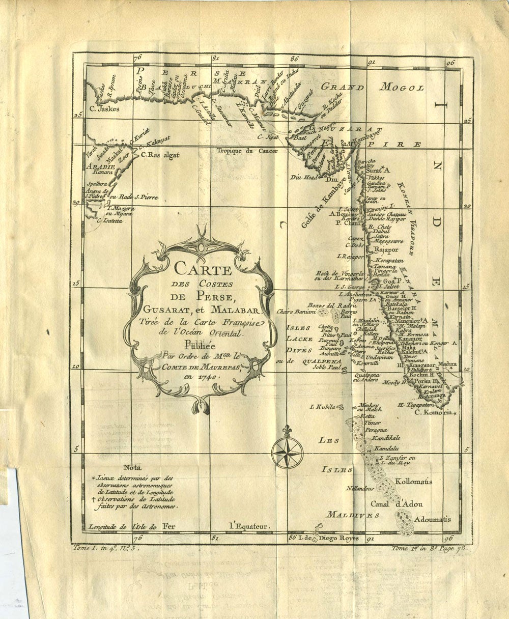
Carte des Costes de Perse, Gusarat, et Malabar.
Paris: 1738 - 1775. Detailed copper engraved map of the Persian Gulf and western India, from Perse (Persia), and Grand Mogol in the north, down to the tip of India, including the Maldives. From Prevost's "L'Histoire Generale des Voyages". With decorative cartouche and compass rose.
Bellin (1703 - 1772), one of the most noted French mapmakers of the 18th century, was named the hydrographer (chief cartographer) to the French Navy, and later, the Official Hydrographer to the French King.
Folding, 8 1/2 x 10 1/2". Strong impression, very clean. Very good condition. Item #21547
Price: $175.00
See all items by India, Nicolas Bellin