
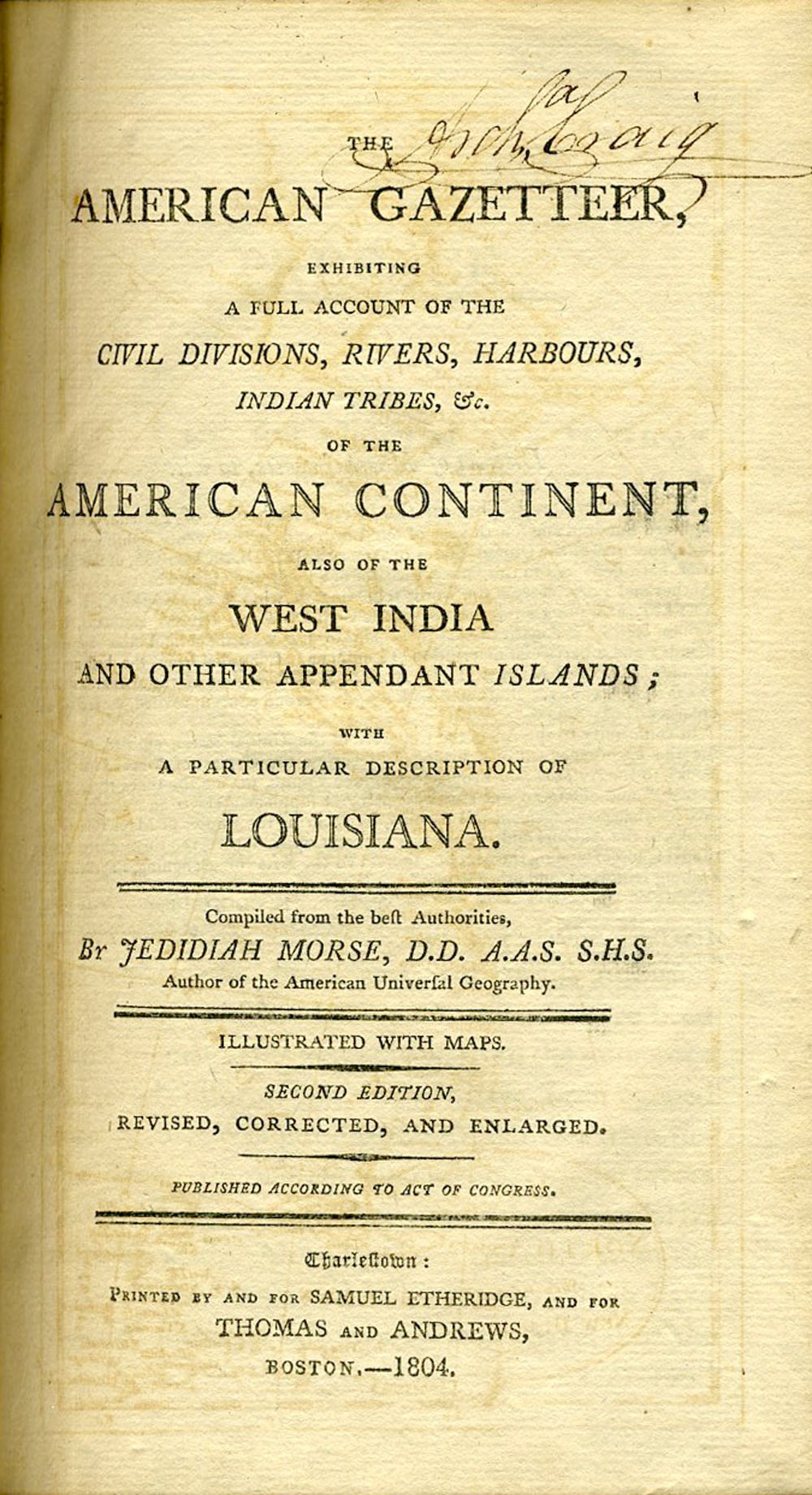
The American Gazetteer, Exhibiting a Full Account of the Civil Divisions, Rivers, Harbours, Indian Tribes, &c. of the American Continent, also of the West India and Other Appendant Islands; with a particular description of Louisiana. One of the first published descriptions of Louisiana Territory.
Boston: Samuel Etheridge for Thomas and Andrews, 1804. Second edition, revised, corrected, and enlarged. Hardcover. "This immense addition of Territory to the United States, forms an important epoch in our history. What will be the effect upon the government, union, and happiness of our country, cannot be foreseen. Conjectures are various. Time will be continually unfolding the consequences of this great event. All must contemplate them with solicitude for the honor and welfare of the nation." (See the section headed "Louisiana").
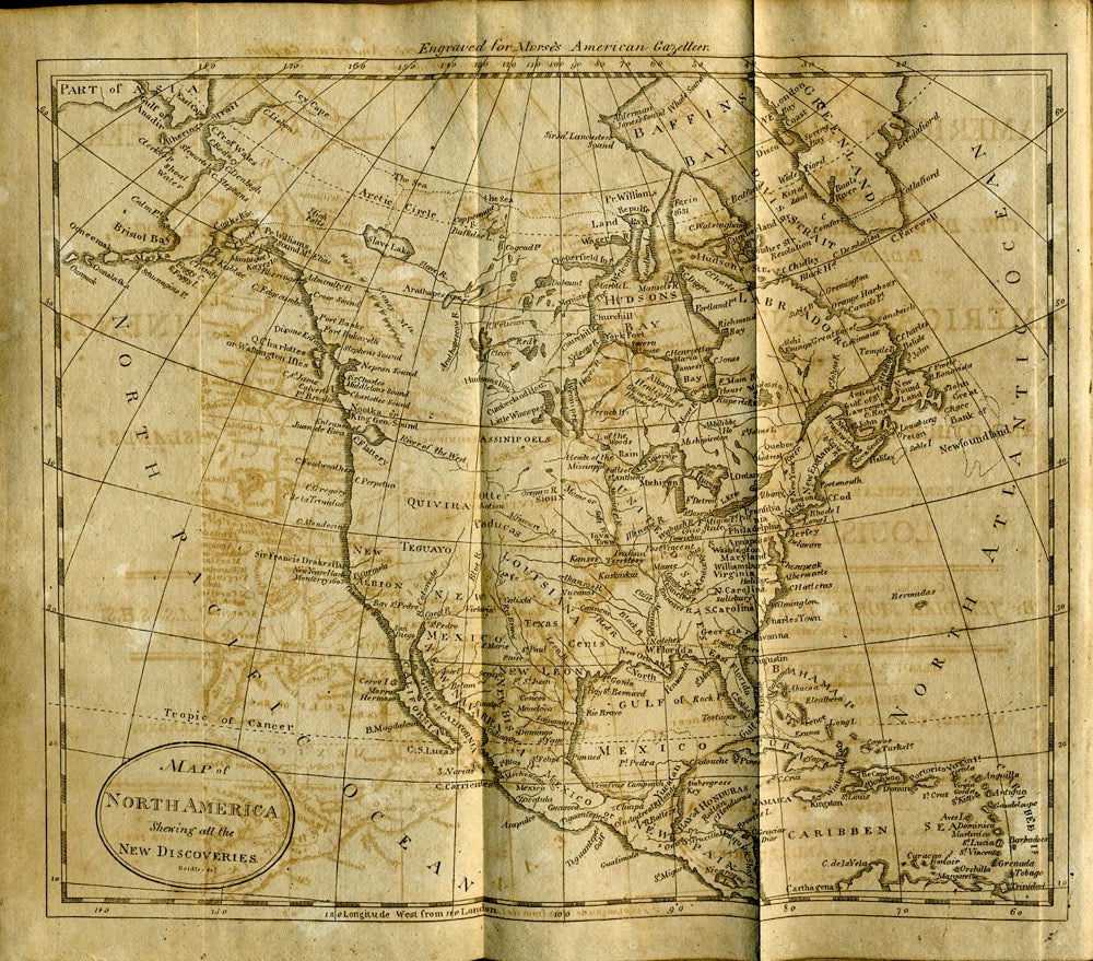
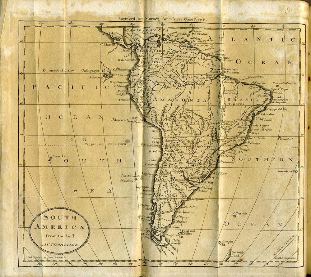
Morse was a notable geographer whose books were widely used by students in the United States. Like many of his works, they are illustrated by maps, all folding, including: Map of North America (frontispiece); Map of the Northern Parts of the United States; Map of the Southern Parts of the United States; South America; Map of the West Indies; Chart of the Northwest Coast of America (engraved by Gridley).
Thick 8vo, unpaginated, vi, (628 pp), complete with Frontispiece map and 5 folding maps. One of earliest descriptions of newly acquired Louisiana Territory. Beautifully bound in original full tree calf. Some offsetting on the maps, otherwise a fine complete copy. Title page with an early owner's signature, that of Arch Craig at the title page. Signed again by William W. Craig Jan. 1888 on the front pastedown. OCLC: 684247. Sabin 50923. Howes M839. Shaw and Shoemaker 6825. Very good condition. Item #21798
Price: $450.00