
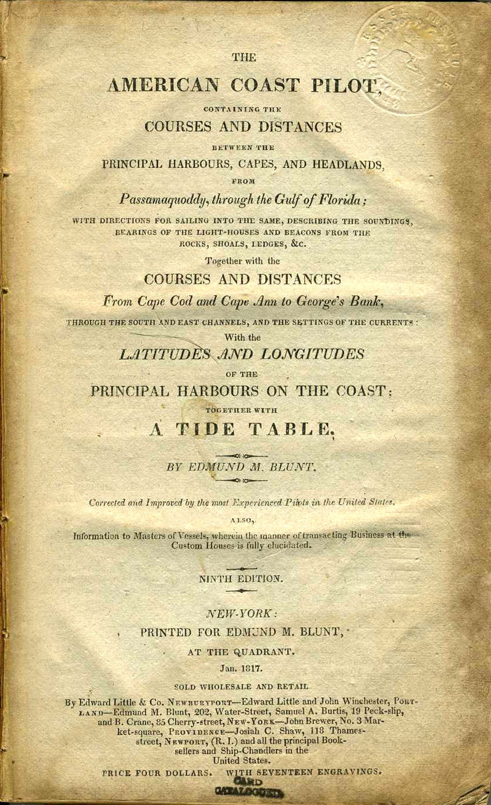
The American Coast Pilot. Complete with all the plans and charts.
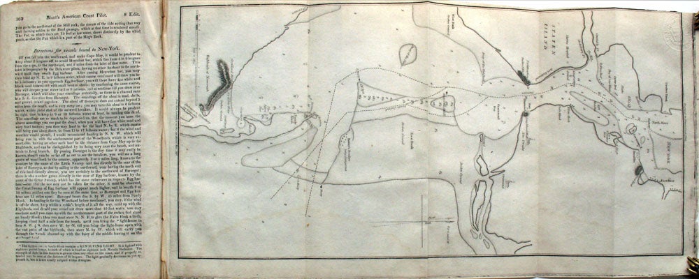
New York: Printed for Edmund Blunt at the Quadrant. Sold by Edward Little & Co., Newburyport, 1817. Ninth Edition. Hardcover. Complete, with the fine maps of American ports, including a folding plan of New York Harbour, showing the lower end of Manhattan with the North River (at Paulus Hook) the East River and the Battery, all the way down to Sandy Hook and the entrance to Shrewsbury, with many soundings (p163, 9 x 17").
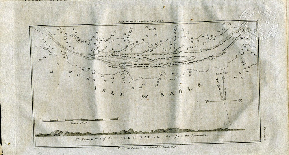
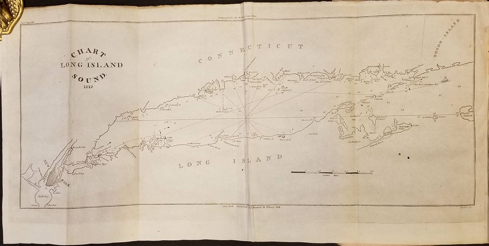
Charts and plans include: Plan of the Isle of Sable; Portland Harbour; Portsmouth Harbour; Newburyport Harbour; Annis Squam Harbour; Boston Harbour; Cape Poge; Newport Harbour; Long Island Sound (folding); New York Harbour (p163); Little Egg Harbour; Bay & River of Delaware (folding); Chesapeake Bay; Coast of North Carolina (folding); Charleston Harbour; Savannah River (folding); and Vera Cruz.
Includes the lengthy Appendix, covering a broad range of information including "Abstract from the Laws of New York, interesting to Masters and Mariners, which includes Wrecks, Servants, Slaves (pertaining to the May 1, 1810 Act abolishing the importation and transfer of slaves); Quarantine Law; Ships Liable for Debts; Searching of Vessels.
Edmund March Blunt (1770) was an American navigator, hydrographer and publisher of nautical magazines and guides. The American Coast Pilot was published from 1796 through 1858, and was printed in 18 editions.
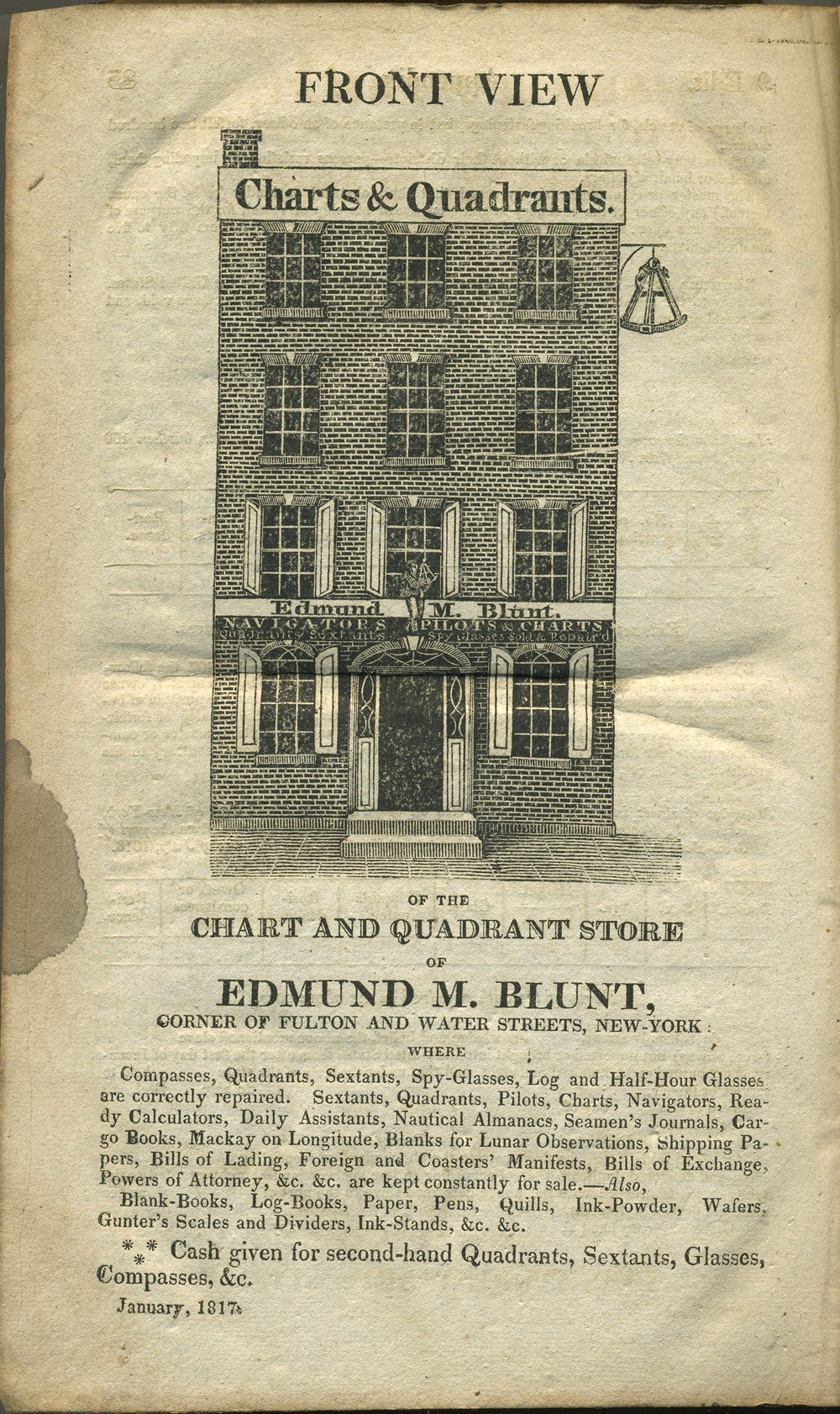
8vo, xvi, 328pp, Table I: Latitudes & Longitudes, 11pp; Appendix, 85pp; ads, 3pp. Advertisements include an illustrated full page ad for Edmund Blunt's shop, showing the facade of the shop with large sign at the very top "Charts & Quadrants" and a sextant as hanging street sign.
Full brown calf. Boards rubbed, front board detached but present; spine chipped at top third, library label at base. Internally, early pages a bit toned at edges; bookplate of the Essex Institute inside front board as well as blind stamps of the institute at upper right corner of title page and at every plate corner. Chesapeake Bay folding map with a few cracks and browned at one fold only. OCLC: 1467157. Item #21852
Sold