
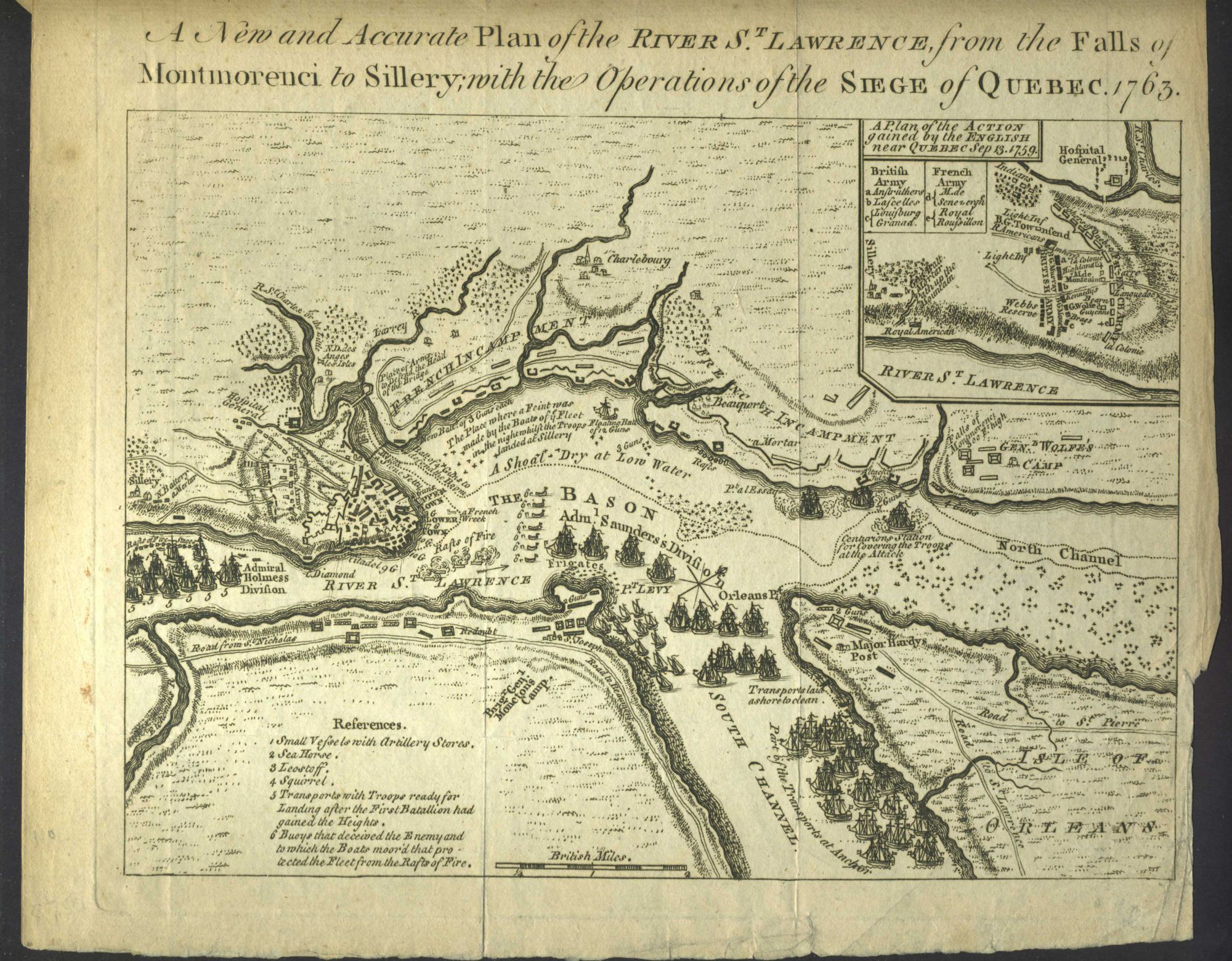
New and Accurate Plan of the River St. Lawrence, from the Falls of Montmorenci to Sillery, with the Operations of the Siege of Quebec, 1763.
London: Urbanus, Sylvanus, 1776. Plan of the siege of Quebec, published in Gentleman's Magazine, showing the St. Lawrence and British and French vessels.
During the Seven Years' War, James Cook served in North America as the master of the 'Pembroke' (1757), and in 1758 was part of the major amphibious attack that captured the Fortress of Louisbourg from the French. He then was part of the siege of Quebec City and the Battle of the Plains of Abraham (1759). Cook proved to be very capable in surveying and cartography. He mapped much of the entrance to the Saint Lawrence River during the siege, which made it possible for General Wolfe to undertake the famous sneak attack on the Plains of Abraham.
A good dark impression, trimmed a bit close at the right margin 7.6 x 9.2 inches. Very good overall. Item #23475
Price: $275.00