
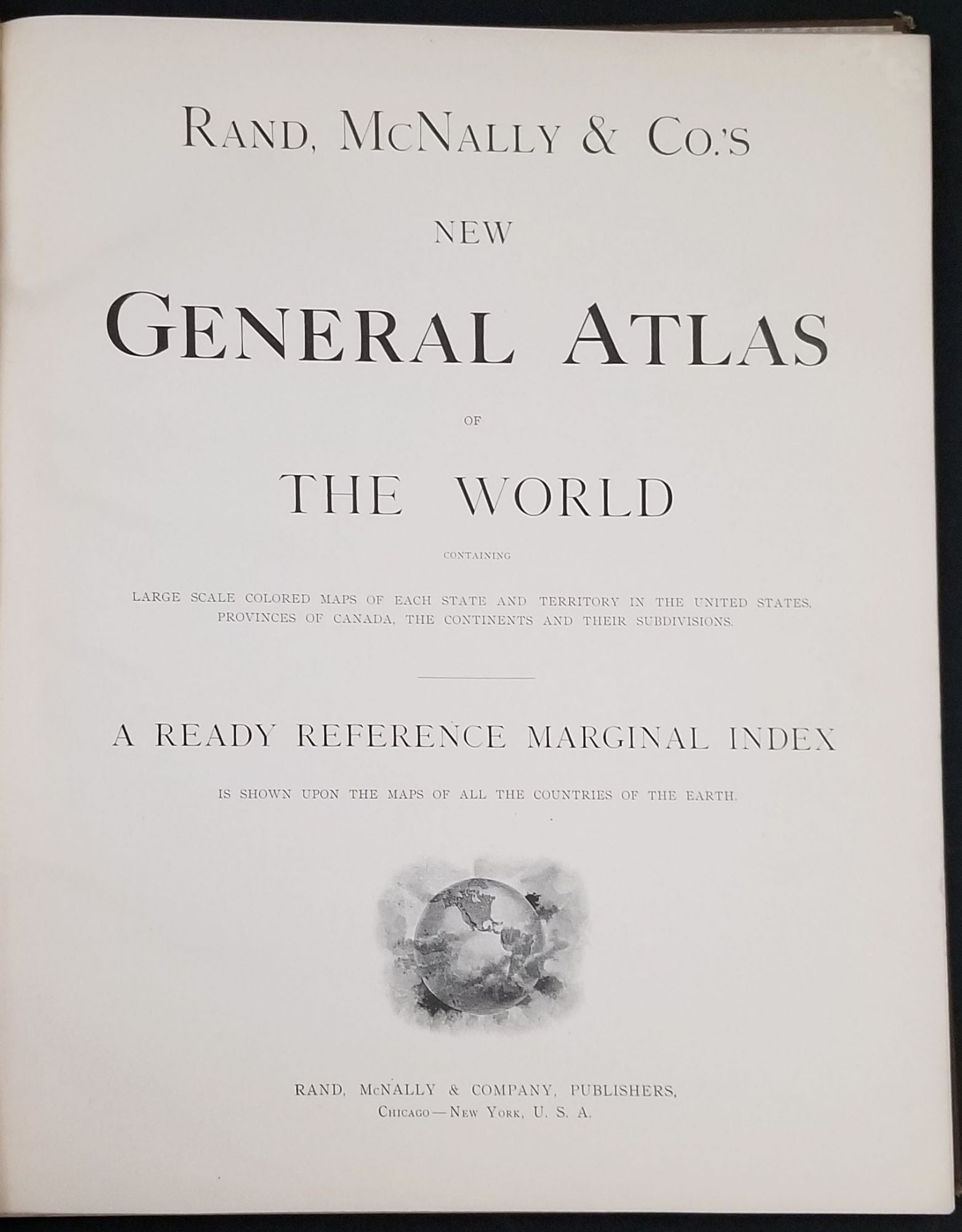
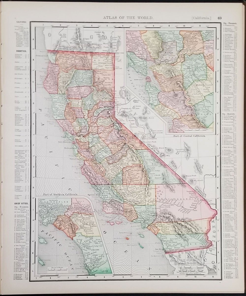
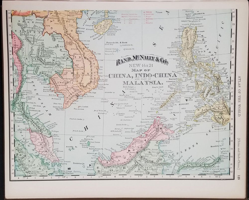

Rand McNally & Co.'s New General Atlas Of The World Containing Large Scale Colored Maps of Each State and Territory in the United States, Provinces of Canada, The Continents and Their Subdivisions.
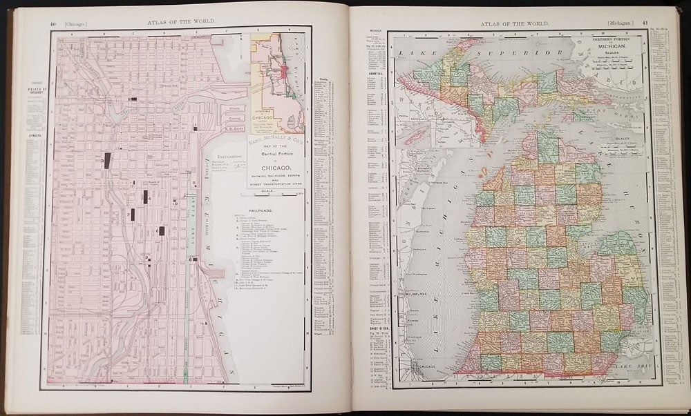
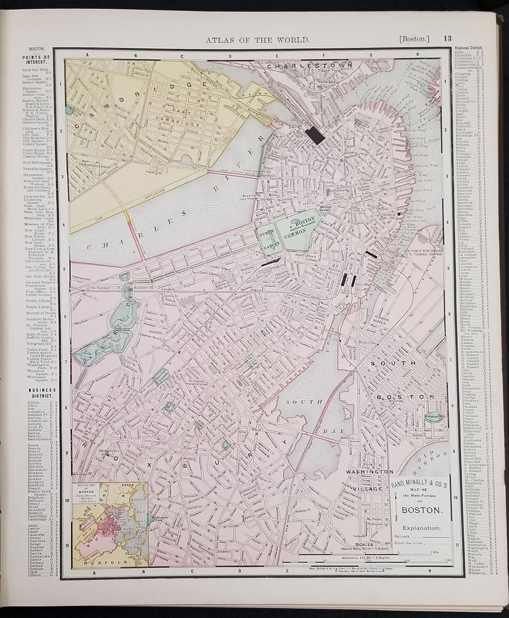
Chicago: Rand, McNally & Co, 1895. First printing. Hardcover. Includes many American town plans all printed in color, including Boston, Brooklyn, the District of Columbia, New York City, San Francisco (the city before the earthquake and fire of 1906) and Philadelphia.
Printed on the cover is the date 1896 while the internal copyright is dated 1895. The next edition of the atlas still has the 1896 date outside but then included it at the base of the title page. The pagination remained the same.
Small Folio, 159pp, "A Ready Reference Marginal Index is Shown Upon the Maps of All Countries of the Earth." Brown cloth covers with silver title within a decorative border. Floral patterned endpapers. Fine copy, bright and clean. OCLC: 6933332. Very good +condition. Item #24195
Price: $400.00