
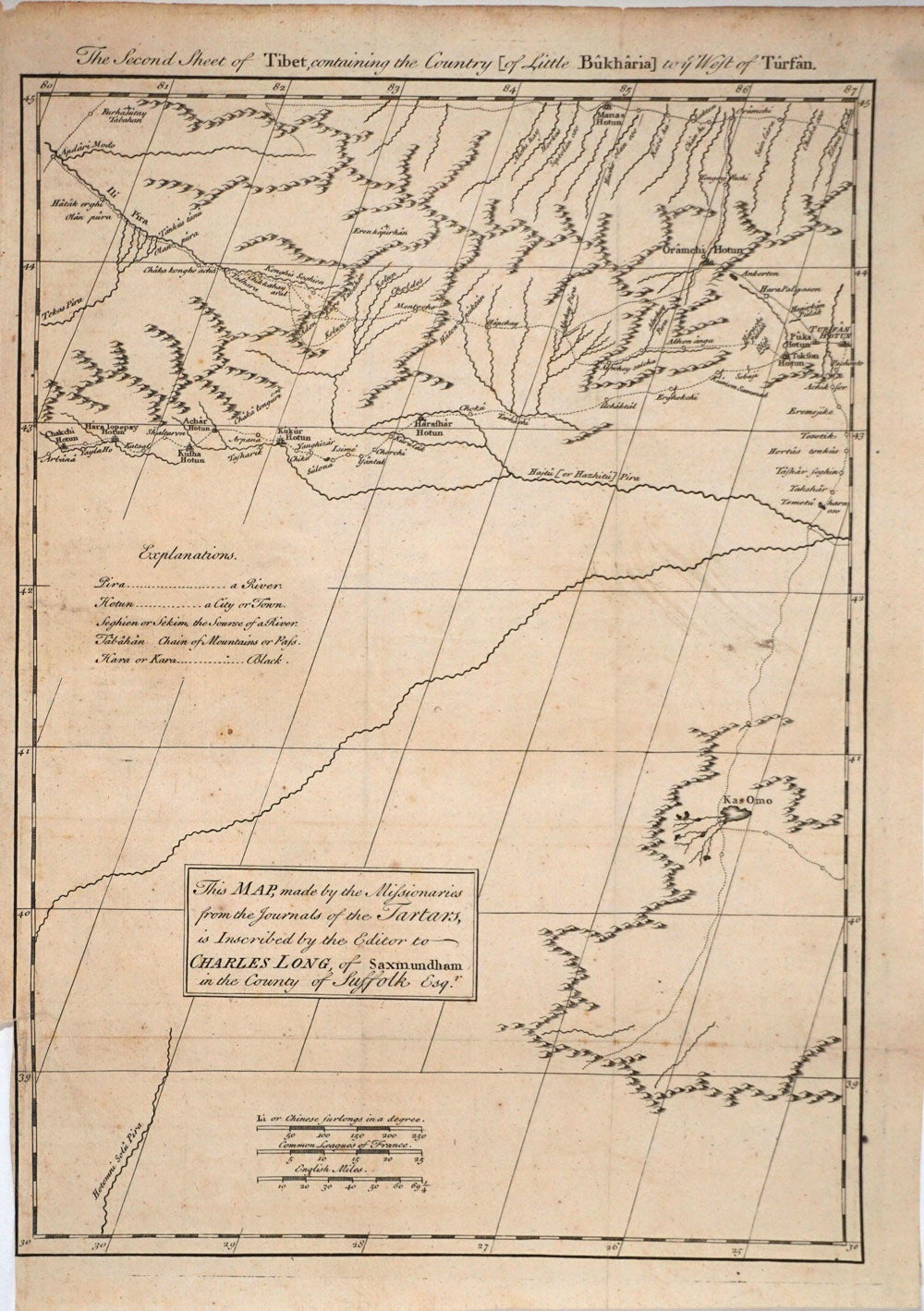
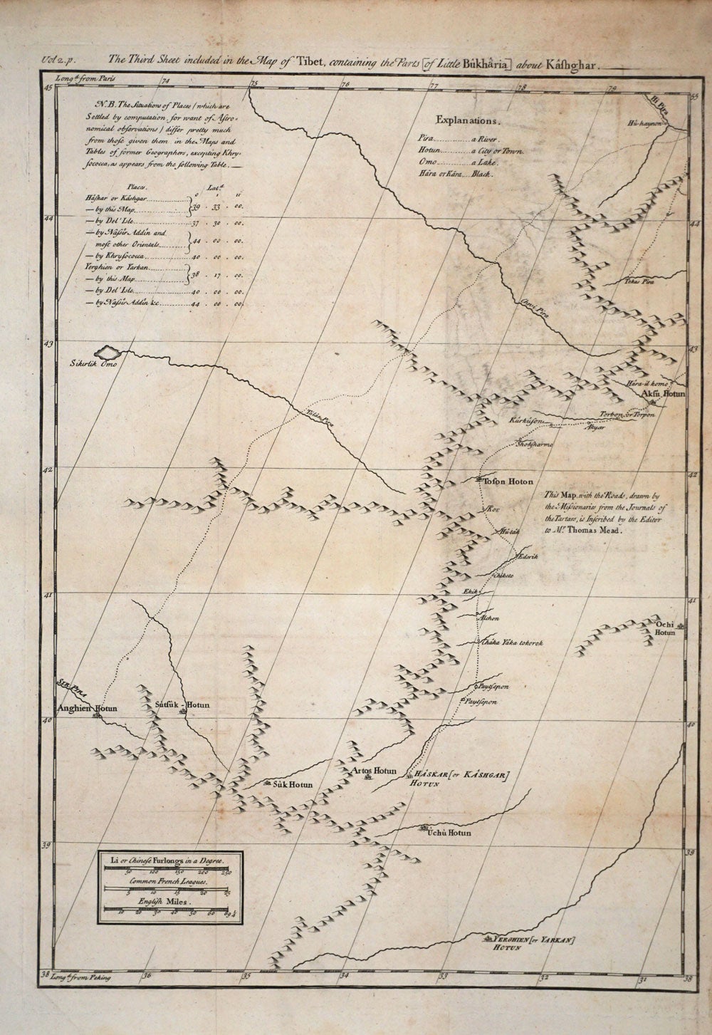
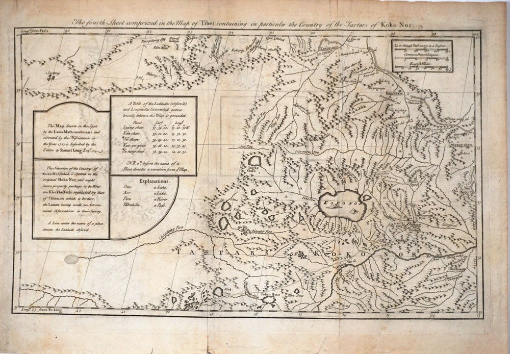
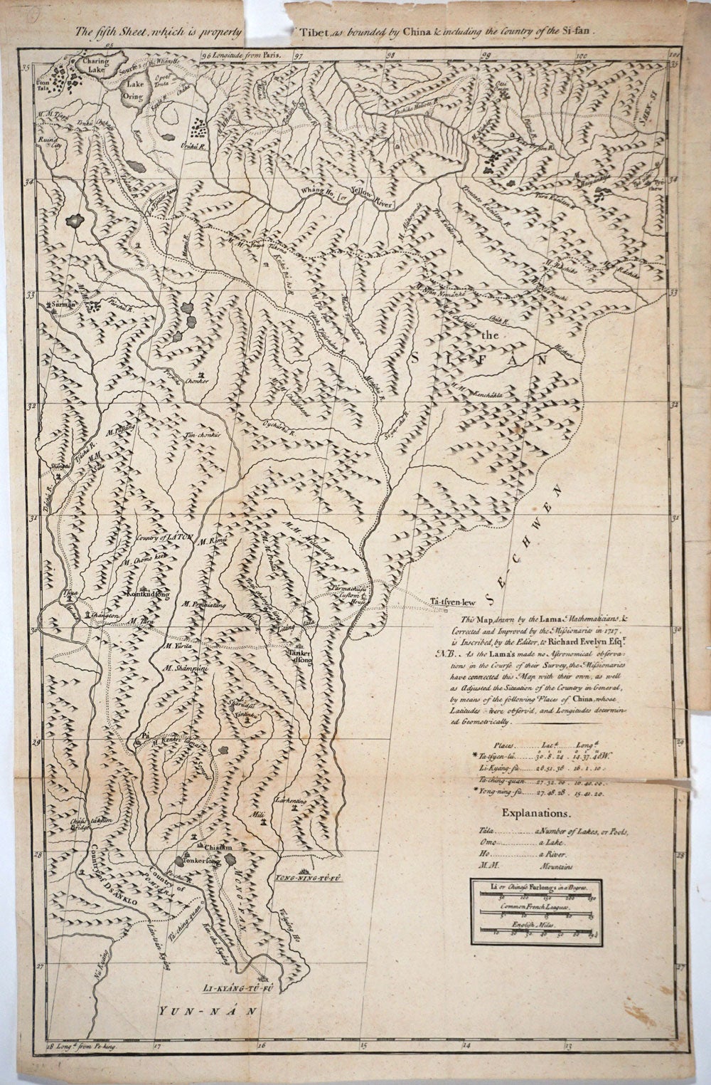
Large Scale Map of Tibet and environs, 6 sheets.
London: Edward Cave, at St. John's Gate, 1738. Maps of Tibet from the Edward Cave folio edition of this important encyclopedic work on Chinese culture, history and society, by a French Jesuit who specialized in China. Du Halde's work inspired great interest in China among Europeans, and was a ground breaking work in geography.
The 6 sheets include the second through the seventh:
1. The Second Sheet of Tibet, containing the Country [of Little Bukharia] to ye West of Tursan; 2. The Third Sheet included in the map of Tibet, containing the parts [of Little Bukharia] about Kathghar. 3. The fourth Sheet comprized in the Map of Tibet
containing in particular the country of the Tartars of Koko Nor; 4. The fifth Sheet, which is properly the first, of Tibet, as bounded by China & including the country of the Si-san.
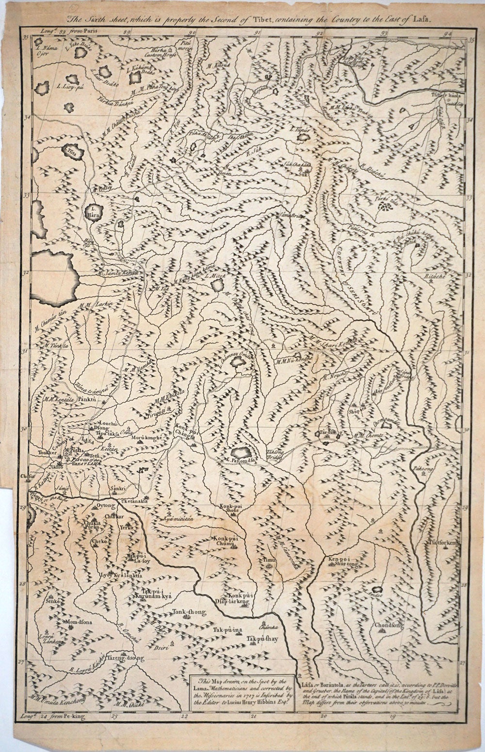
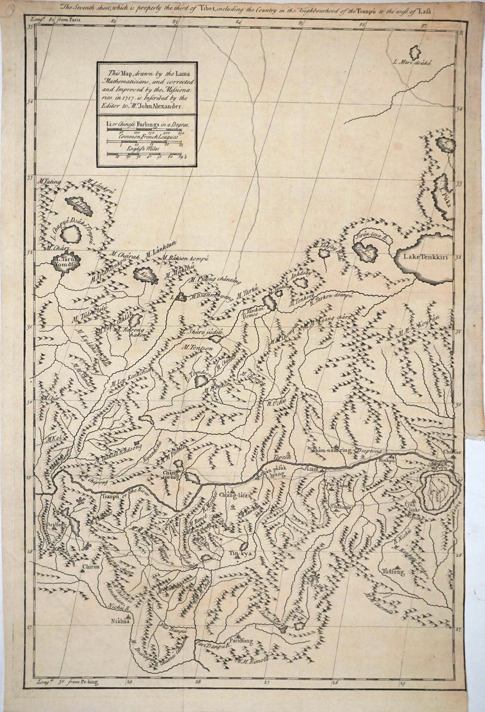
5. The Sixth sheet, which is properly the Second of Tibet, containing the Country to the East of Lasa; and 6. The Seventh sheet, which is properly the third sheet of Tibet, including the Country in the Neighbourhood of the Tsanpu to the west of Lasa.
Copper engraving, period folds. Engraved map on 6 sheets, a few sheets with loss to lower margin; 5th sheet with chip top edge, some loss to title. 11 1/4 x 10" with margins. The book: Cordier BS 50; Löwendahl 409; Lust 15. Good condition. Item #24523
Price: $950.00