
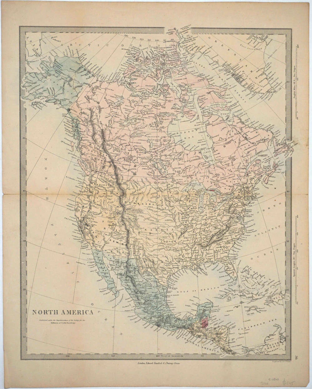
North America. Map.
London: Published under the Superintendence of the Society for the Diffusion of Useful Knowledge, Ca. 1850s. Color engraved pre Civil War map of North America, from Grinnell Land in the Arctic Circle down to Costa Rica. Showing Indian Territory north of Texas, Kanzas (sic), and Nebraska territory, and Minnesota (which had just become a territory in 1849) and Dacotah (sic) territory as one (the Dakota Territory split into North and South in 1889), and "Lower California". Engraved by J & C Walker.
One original center fold. Slight cracking at edges of center fold. 15 1/4 x 13 1/2".
OCLC: 48089296. Very good overall. Item #24608
Price: $145.00
See all items in
MAPS
See all items by Edward Stanford