
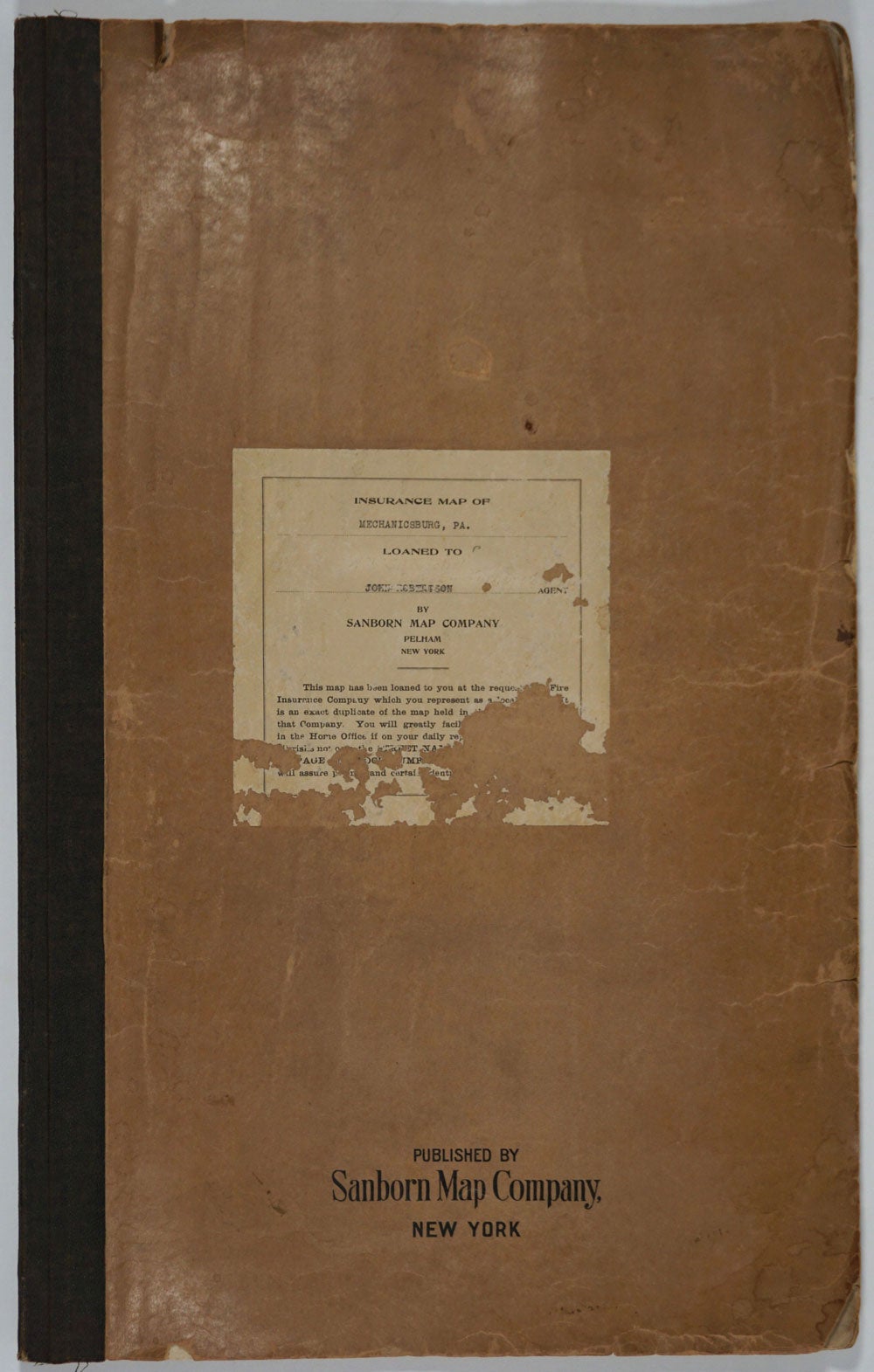


Insurance Map of Mechanicsburg, PA. Loaned to John Robertson, Agent by Sanborn Map Company.
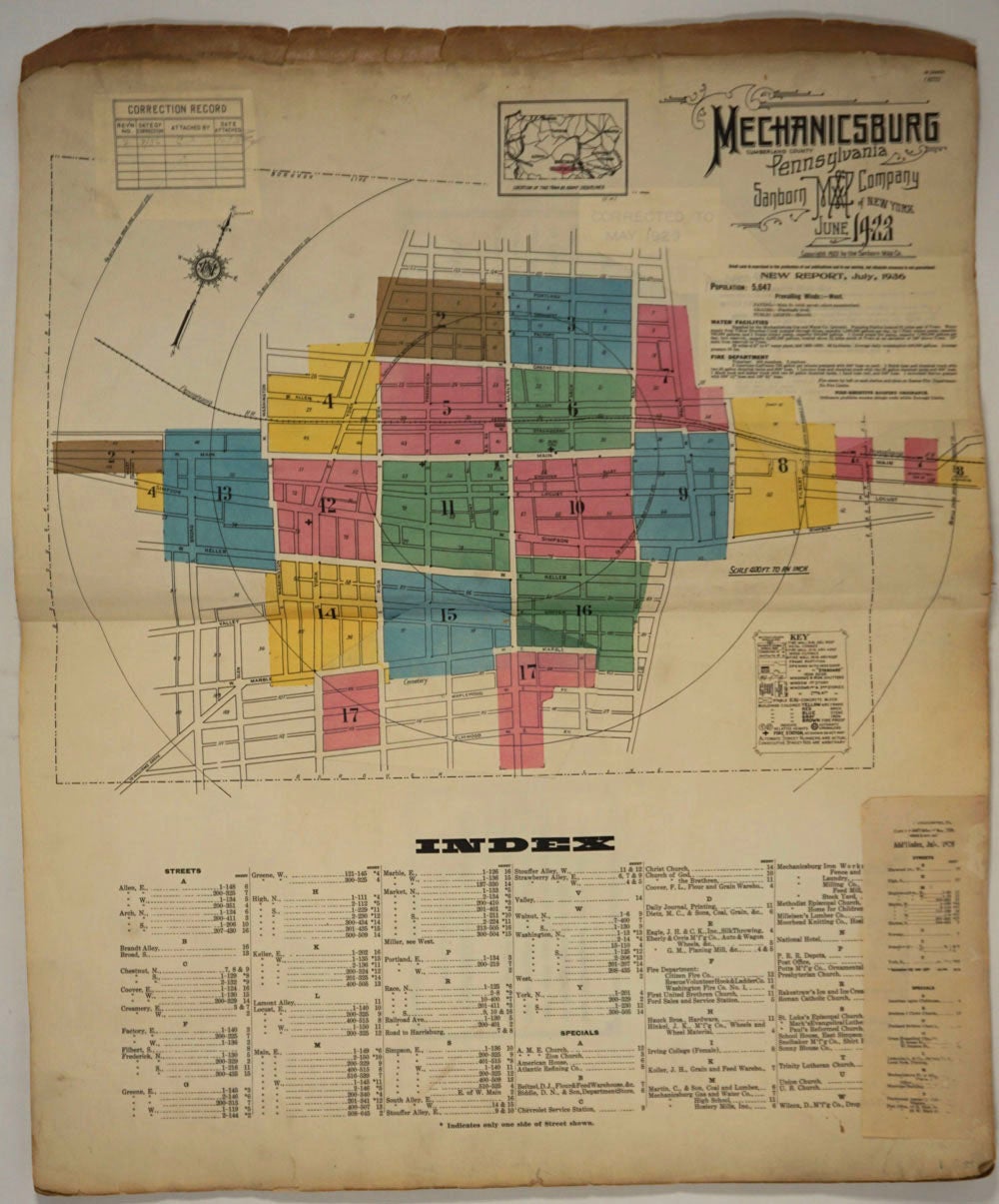
New York: Sanborn Map Co, 1923. Folio, published in June 1923 with 17 hand colored maps, including a title page on the key map, and correction record sticker recording corrections up through July 1936.
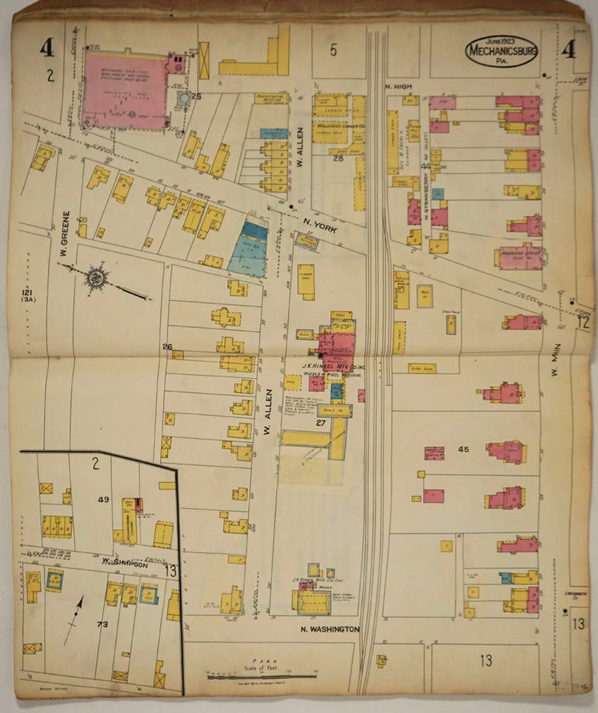
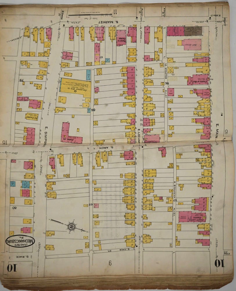
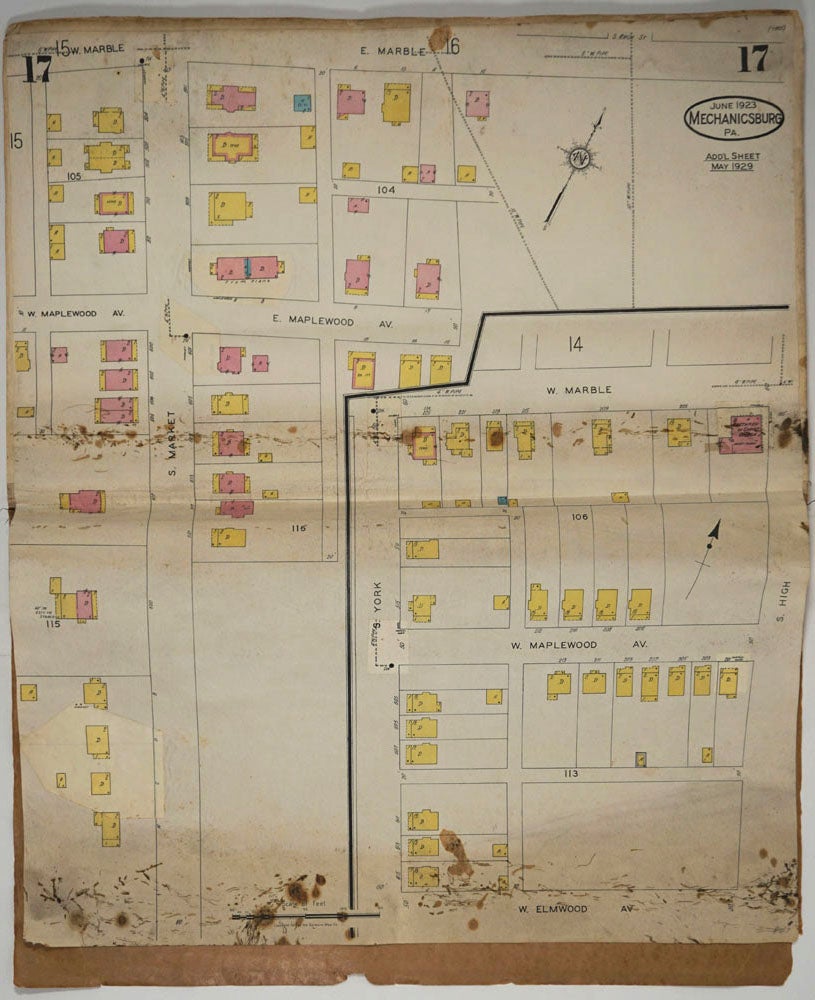
Originating in London in the mid 18th century insurance maps had become invaluable in the US in the 1860's when Sanborn started work. The company started to standardize the maps and publish them in atlases under the town or city. Each map/sheet measures 21 x 25" and is drawn to a scale of 50 feet to an inch, with color applied by hand at the time of publication.
Every atlas records all town buildings shown to scale, its construction material and use noted, as well as fireproofing, thickness of walls, elevators, chimneys, fire alarm boxes, hydrants, sprinkler systems and a wealth of other detail.
Ultimately Sanborn produced maps and atlases for 12,000 locations. Being so specific, the demand was very slight. The Library of Congress estimates that there were usually fewer than twenty orders for a single sheet so production was small and usually produced for a specific Insurance company or agent. Because of this, a very small number of copies of any atlas are offered on the market today.
Folio, quarter cloth and stiff paper wrappers. Wrappers chipped at edges, title label chipped at lower half. Map 17 with ink spots at foredge not affecting printed area of map. Not found on WorldCat. Good + condition. Item #24808
Sold