
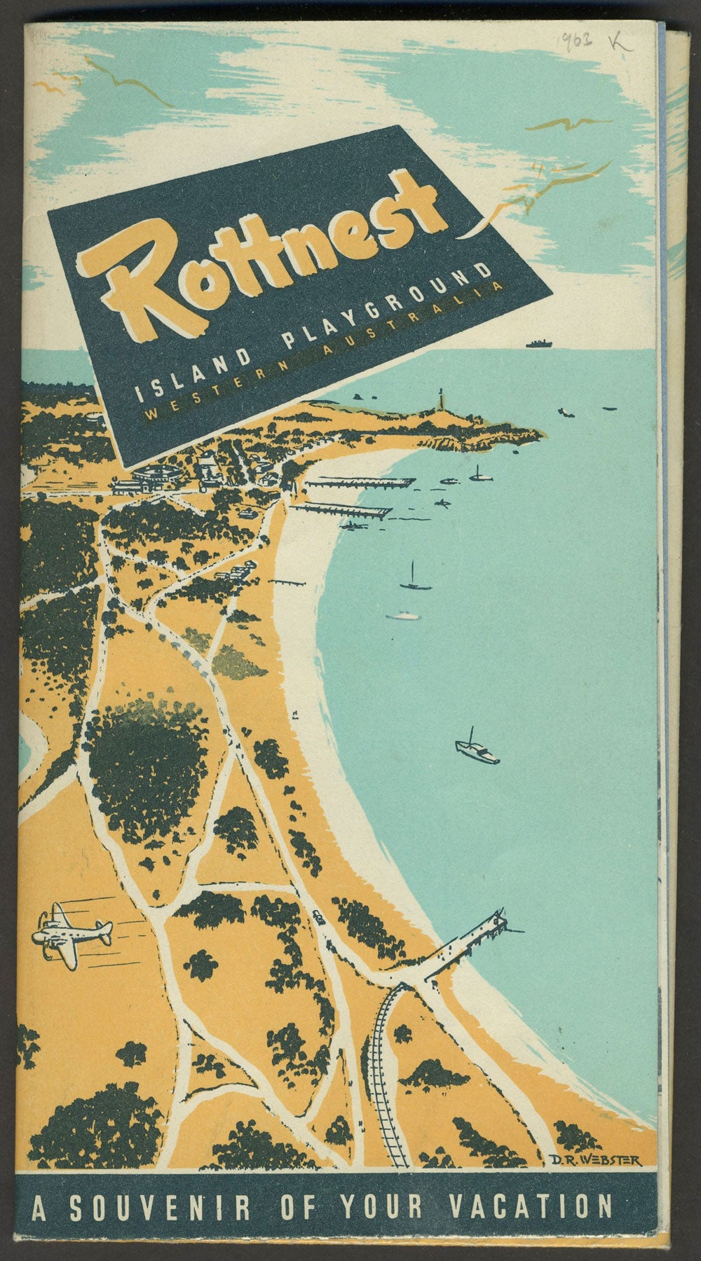
Rottnest Island Playground Western Australia. Tourist map.
Perth WA: A. B. Davies, Government Printer, June 1962. Wraps. Color pictorial souvenir folding map of the noted Australian island, with a cover illustration by D. R. Webster (printed signature at lower right front panel).
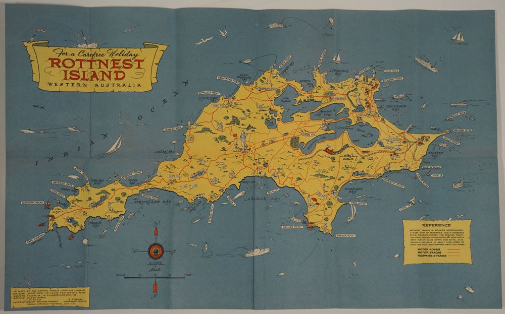
The large folding map shows roads, motor tracks, footpaths, tracks and points of interest. On verso, is the Thompson Bay accommodation map, with text describing sites and printed photographic illustrations
The complete title at the front panel is "Rottnest Island playground, Western Australia, A souvenir of your vacation". The map credit reads, "Prepared by the Mapping Branch, Surveyor General's Division, Department of Lands and Surveys, Perth Western Australia, in collaboration with the Rottnest Island Board. J. M. Ryan Superintendent Mapping Branch, A. B. Davies, Government Printer. Crown Copyrigh preserved June 1962."
Trove 24784086 (this map 1952 through 1960) records only one copy, at the State Library of Western Australia. Very good + condition. Item #25040
Sold