
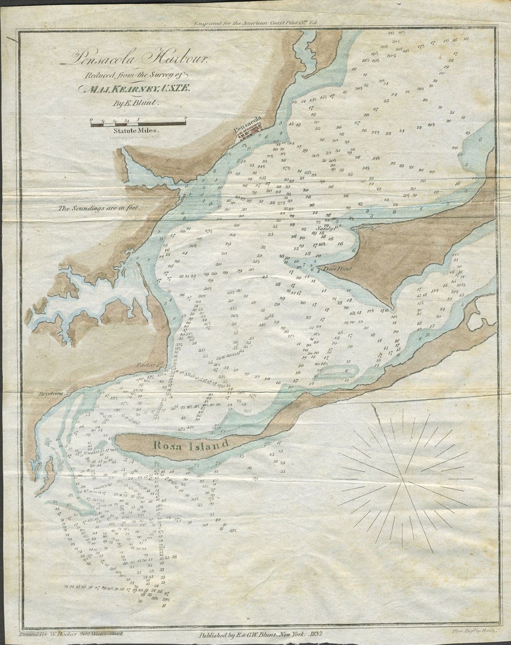
Pensacola Harbour, Reduced from the Survey of Maj. Kearney, U.S.T.E. Color map.
New York: E. & G. W. Blunt, 1837. Engraved hand colored chart of Pensacola Harbor, Florida, from the 13th edition of Blunt's 'American Coast Pilot'.
Shows many soundings in the harbor and south of Rosa Island. Landmarks included are Rosa Island, Deer Point, Sandy Point, Tartar Point and a revolving lighthouse. Pensacola is denoted by a street grid.
Edmund March Blunt (1770) was an American navigator, hydrographer and publisher of nautical magazines and guides. The American Coast Pilot was published from 1796 through 1858, and was printed in 18 editions.
8 1/2 x 10 3/4" Very good condition. Item #25044
Sold
See all items by Edmund Blunt