
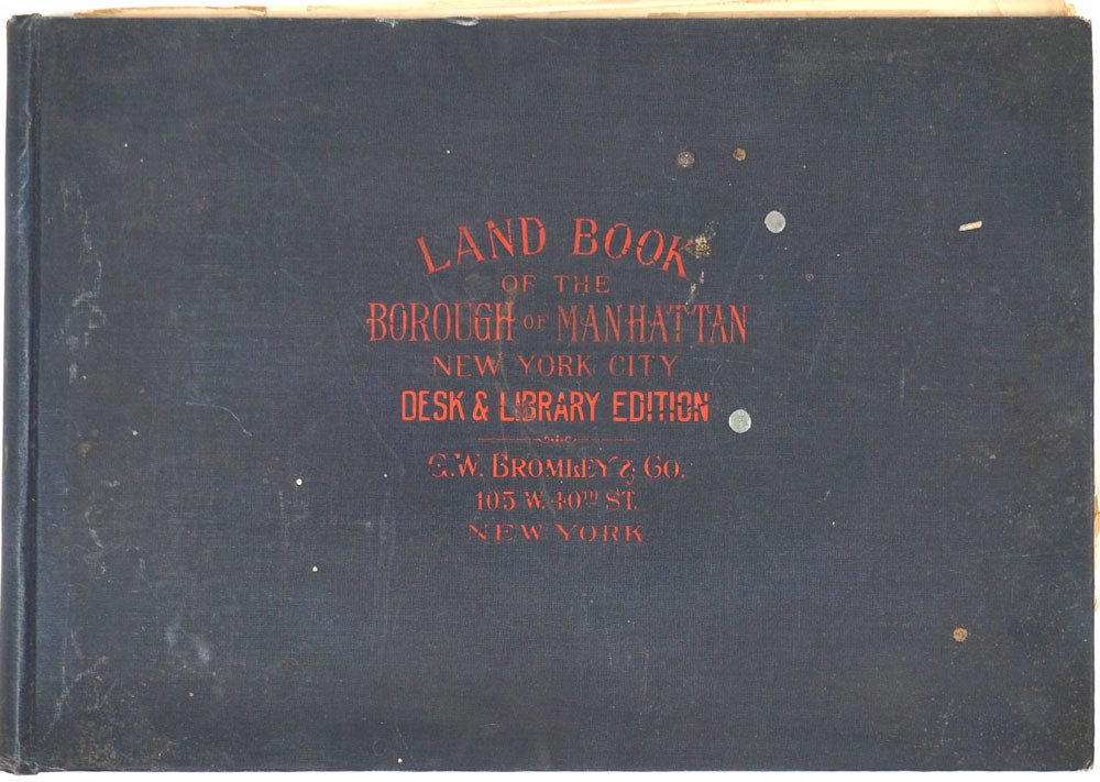
Land Book of the Borough of Manhattan, City of New York. Complete with the year's Correction Sheets.
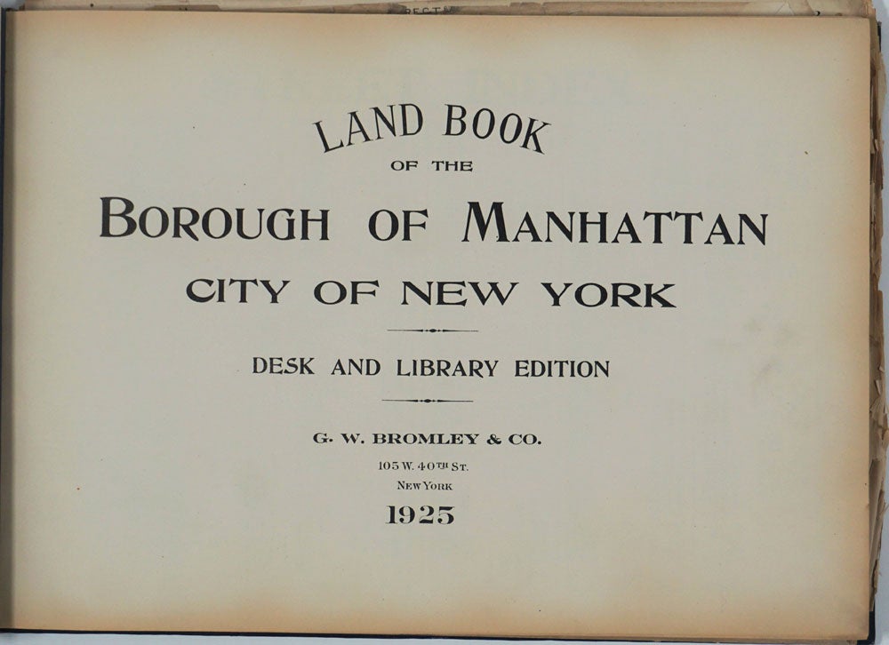
New York: G. W. Bromley & Co., 1925. Desk and Library Edition. Hardcover. Manhattan atlas from the period of the Roaring Twenties, the age of Prohibition and speakeasies, flappers, jazz and the opening of the Apollo Theatre, the Roseland Ballroom and Harlem's Cotton Club.
This edition was published at the beginning of the skyscraper construction binge, but before the erection of 3 iconic Manhattan giants: the Manhattan Trust Building (71 stories), the Chrysler Building (77) and the Art Deco symbol of the city, the Empire State Building (102 stories).
New York City was at the nexus of great growth following the end of WWI; it was the finance, legal, marketing and transportation capital of the country, and so needed to build the showrooms and office towers which these businesses required. Office rents were high, further fueling the building boom; Penn Station and Grand Central (built 1910 and 1913) and the expanded subways allowed more workers to commute to these new buildings.
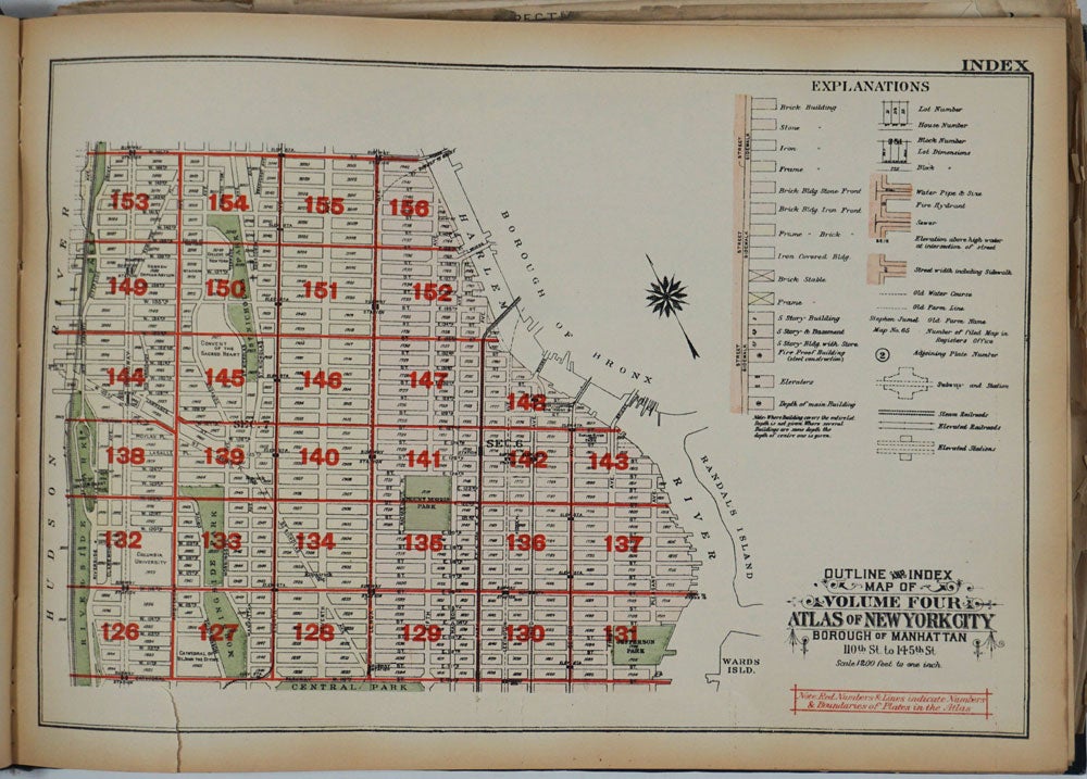
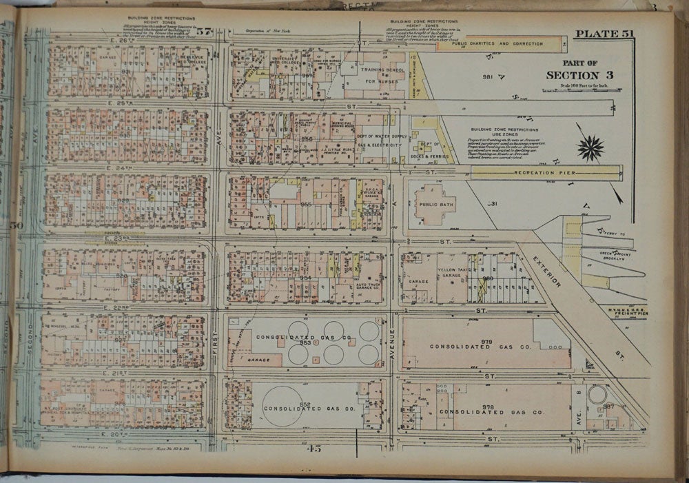
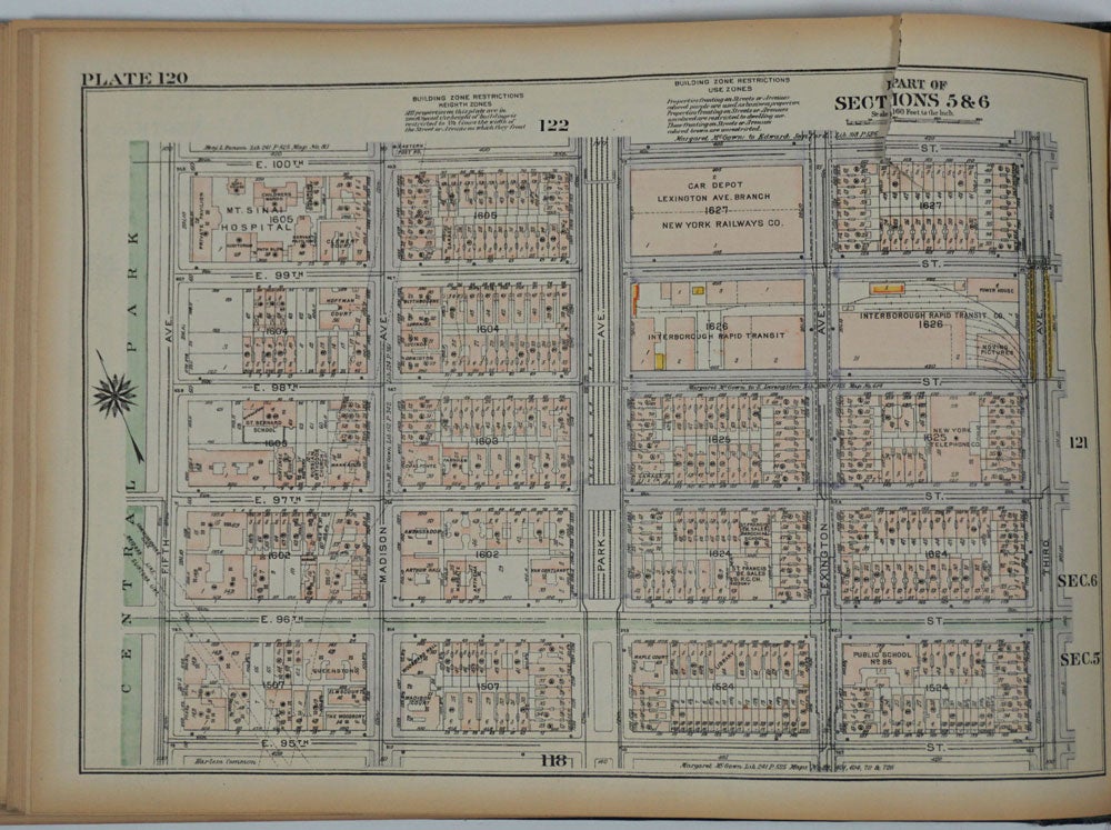
The colored keyed maps in the atlas provide much information, including: lot, house and block numbers; building materials (brick, stone, iron, frame); number of stories; depth of the main building; if the building is fire proof or has elevators; location of sidewalks and sewers; subway lines & subway stations; and steam railroads and elevated stations.
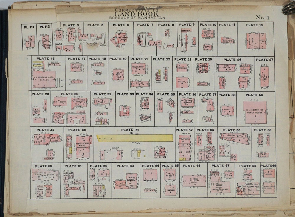
Oblong folio (17 x 12"), with the Block Index printed inside the front cover, 4pp Street Index, 5pp Outline & Index key maps,191 color maps of Manhattan, and all 12 Correction Sheets loosely inserted at the rear (Numbers 1 through 12, with sheet No. 1 having the first 9 amendments excised and applied to the appropriate map).
Original black and maroon titled cloth, a few spots at front board, maroon title slightly rubbed. The maps exceptionally bright and clean; only 1 or 2 with marginal tear. Correction Sheets ruffled at edges.
OCLC: 24335873 records only 5 copies. Very good condition. Item #26082
Sold