
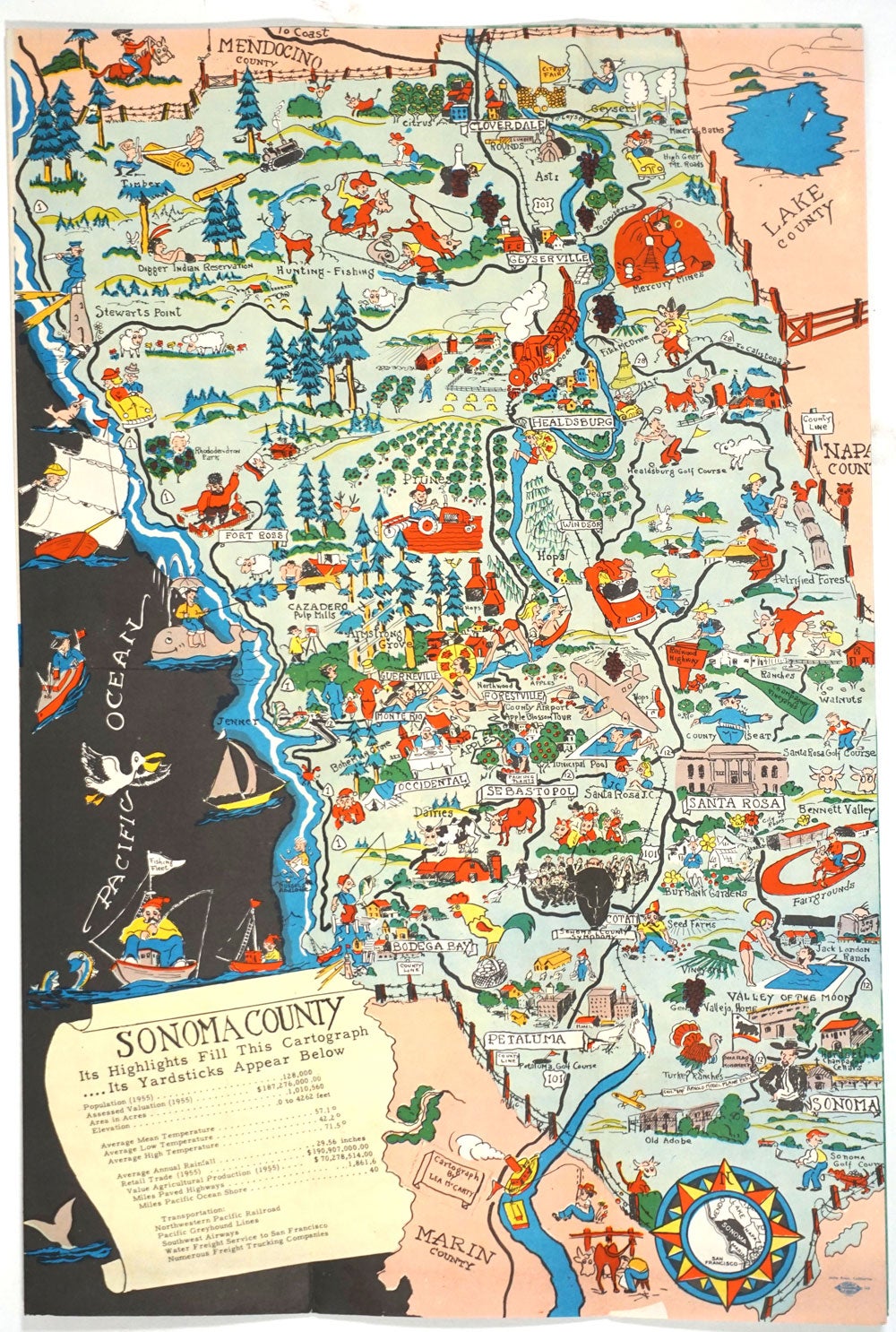
Pictorial map of Sonoma County. "Historic Sonoma County", Folding Brochure with color map one panel.
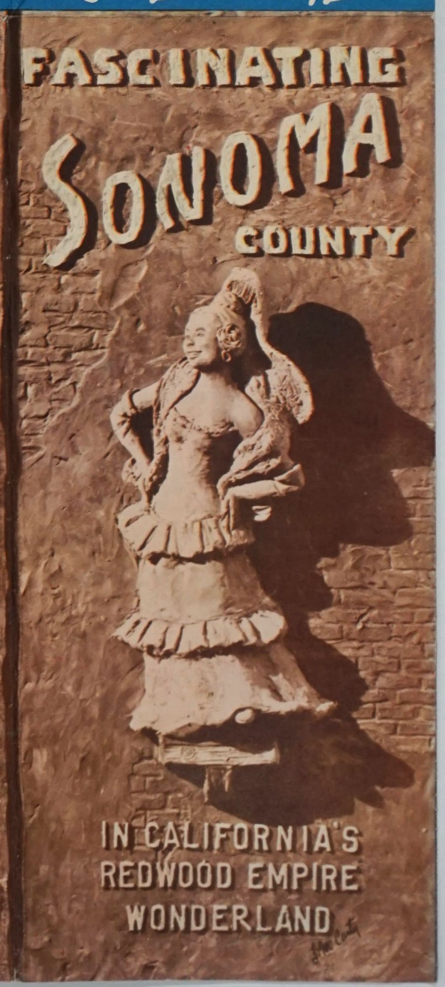
Santa Rosa, CA: Sonoma County Board of Supervisors, 1955. Brochure entitled "Fascinating Sonoma County in California's Redwood Empire Wonderland", featuring a large color cartograph (cartoon map), signed Lea McCarty.
Profusely illustrated map with many amusing cartoons, from the Sonoma golf course in the south, Bodega Bay, Sebastopol, Forestville, Cazadero, Healdsburg, Geyserville and Cloverdale. With many cultural and sightseeing locations shown in cartoons: hunting & fishing; Digger Indian Reservation; mercury mines; prune orchard; petrified forest; apple blossom tour; and the Sonoma County Symphony.
Table of statistics at lower left corner of cartoon map includes: population for 1955; assessed valuation; acreage; temperatures; rainfall; trade; agricultural production; and transportation.
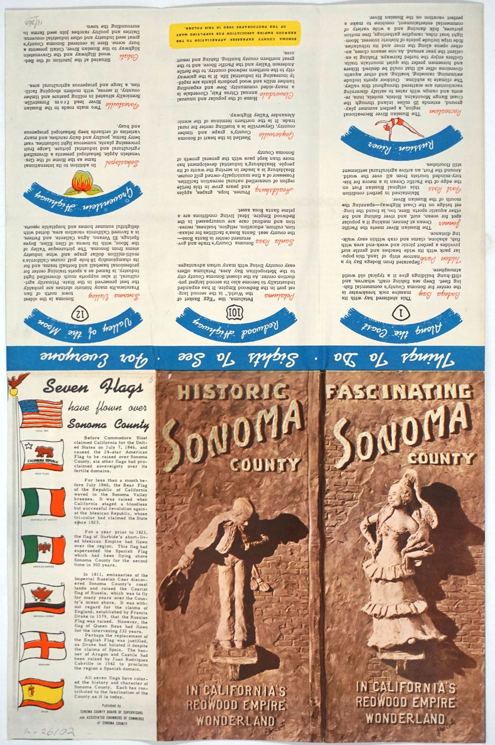
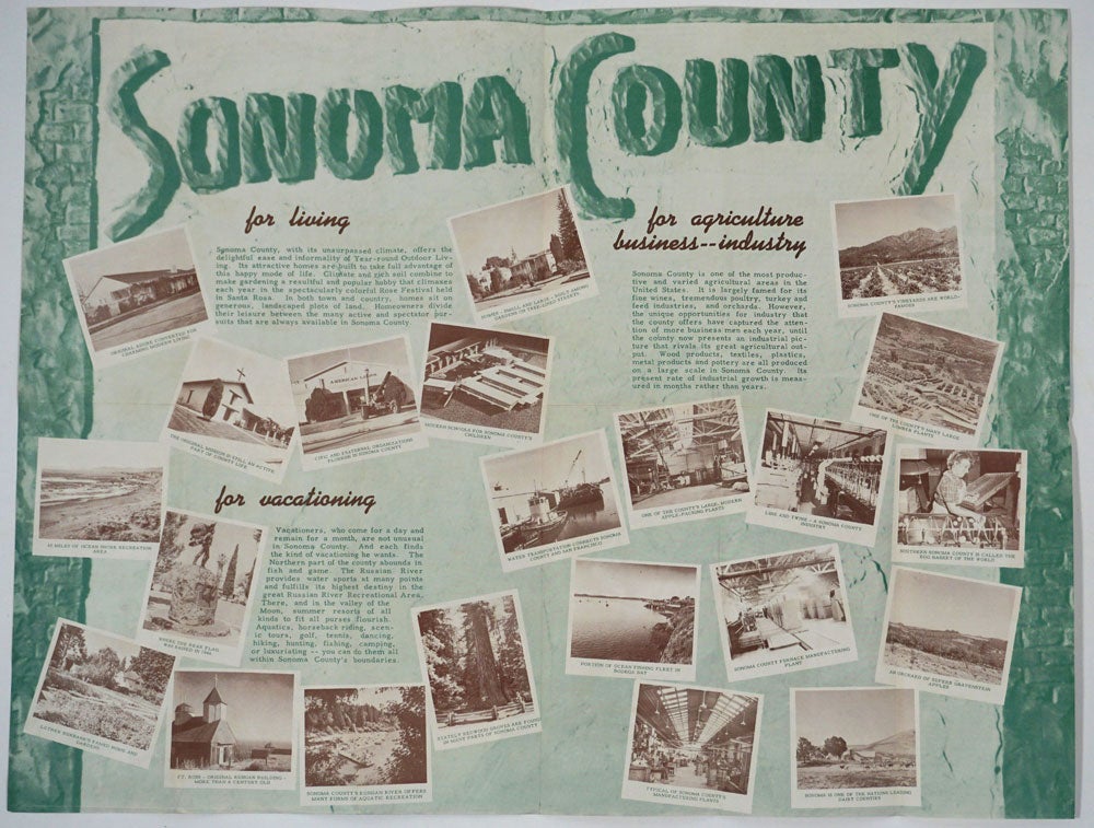
Verso with text and vignette sepia printed photographic illustrations, large title printed in green: "Sonoma County for living, for agriculture, business industry; for vacationing". One panel on side with the cartograph showing "Seven Flags have flown over Sonoma County".
Cartograph by the noted artist Leo Franklin McCarty, who studied at the Chouinard Art School in Los Angeles, and is noted for "Gunslingers of the Old West".
Brochure 22 x 17" open; folds to 3 1/2 x 8 1/2". In remarkably good condition, the map bright and clean. Very good + condition. Item #26102
Sold