
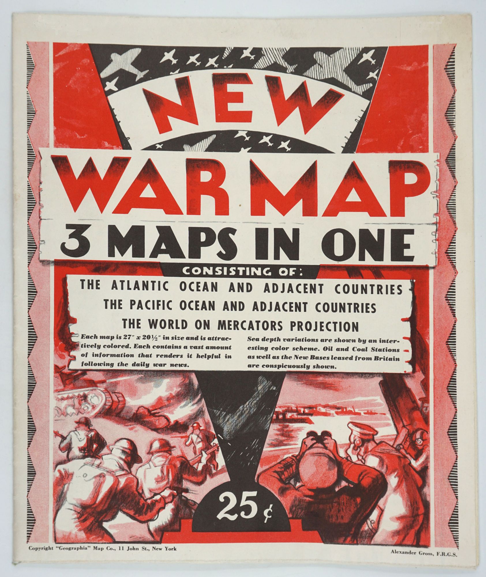
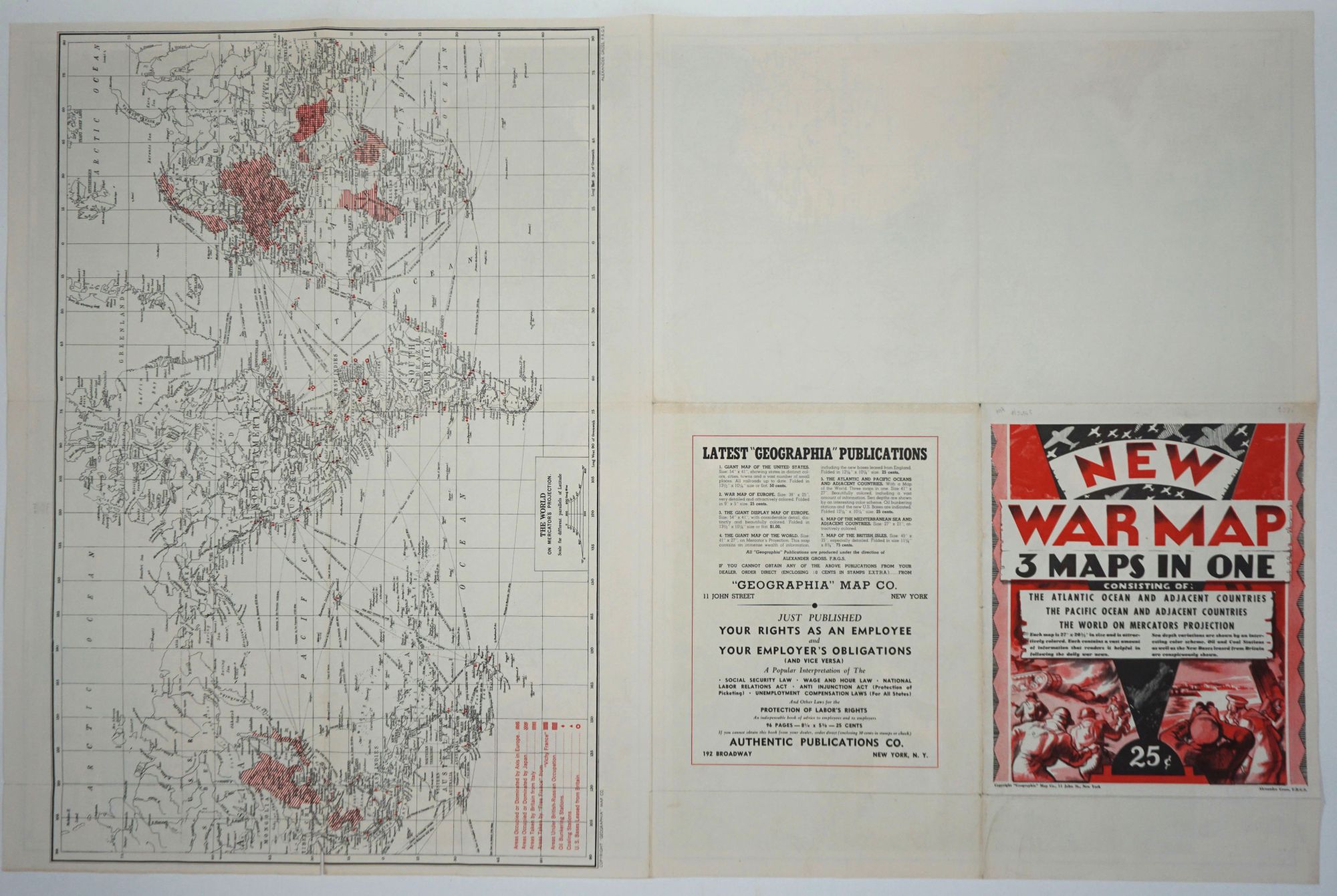

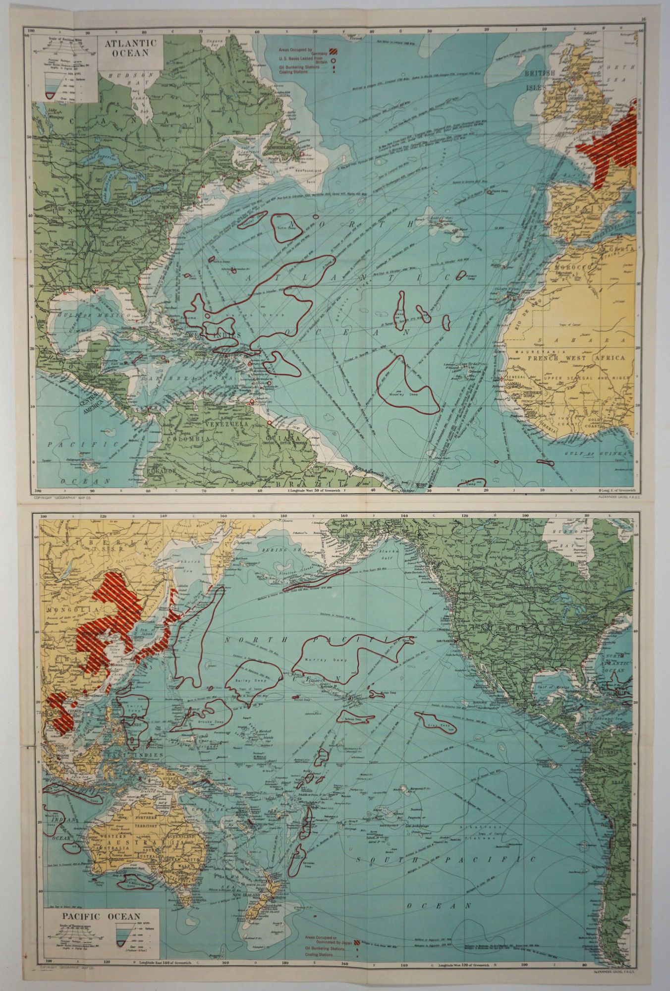
New War Map - 3 Maps in One. Consisting of: The Atlantic Ocean and Adjacent Countries, The Pacific Ocean and Adjacent Countries, The World on Mercators Projection.
New York: Geographia, nd, c. 1941. First printing. Maps. A war map published early on in the conflict - the Japanese occupied area includes Northern China, Taiwan & Indo China, but Singapore is still free. All occupied terretories in each arena are denoted in red. Oil bunkering stations, coaling stations and the US bases leased from Britain are also marked in red. An unusual notation delineates all the "deep" parts of the respective oceans. The cover announces " ..contains a vast amount of information that renders it helpful in following the daily war news." The Pacific & Atlantic Ocean maps are color, the World map b&w. Measures unfolded measures 27 x 41 inches, folded 10 3/8 x 13 3/8. OCLC 13040283. Very good condition. Item #26343
Price: $275.00