
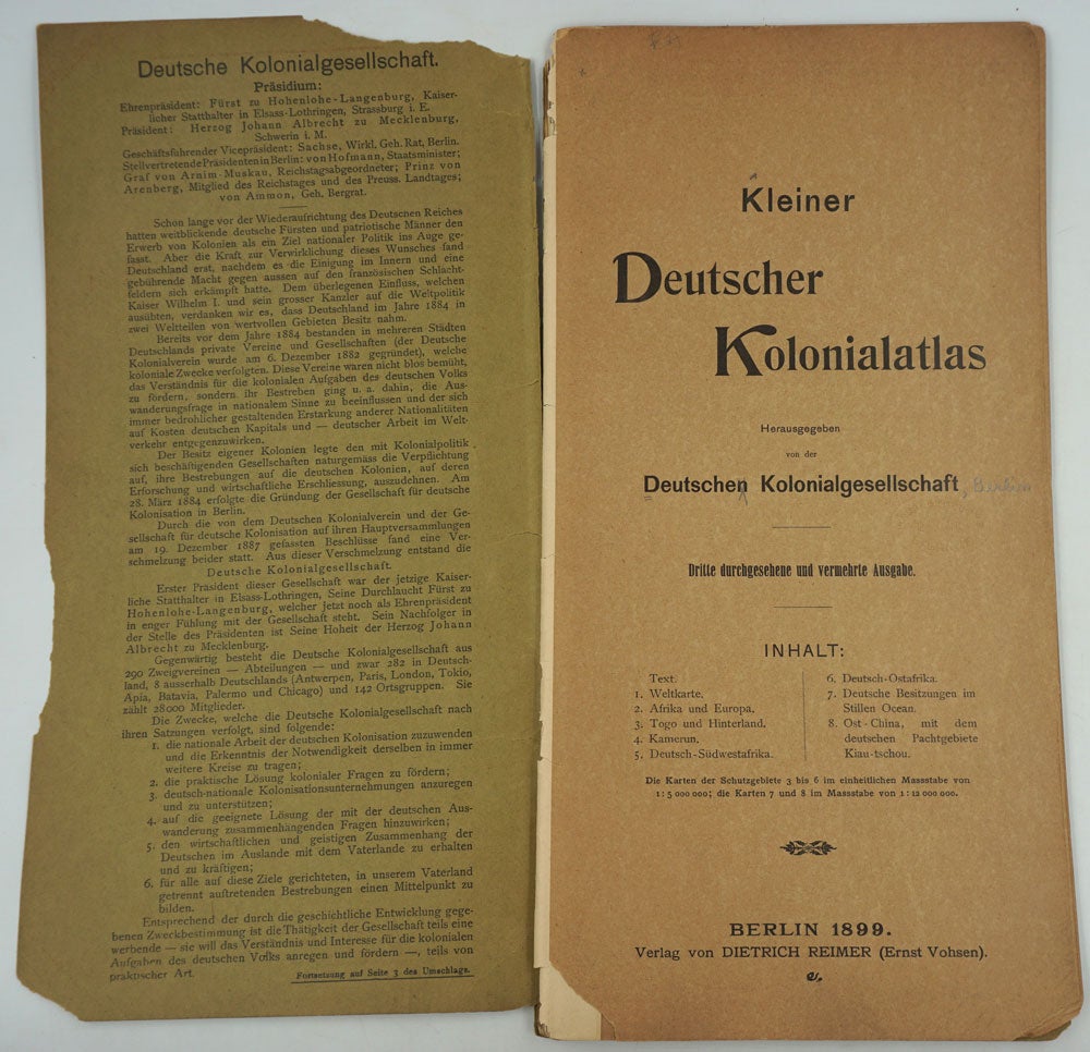

Kleiner deutscher Kolonialatlas / Herausgegeben von der deutschen Kolonialgesellschaft.
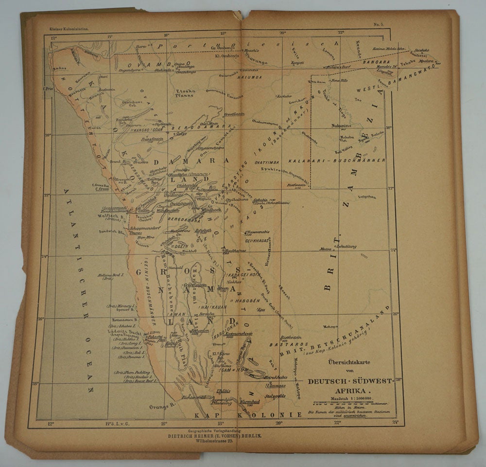
Berlin: Verlag von Dietrich Reimer (Ernst Vohsen), 1899. Pamphlet. Maps include the German possessions in the South Pacific including Kaiser Wilhelms Land in Northeast New Guinea. In one of the earliest actions in W.W.I, the Australian Naval and Military Expeditionary Force (AN&MEF) formed following a request by the British government on 6 August 1914. The objectives of the force were the capture of German stations at Yap in the Caroline Islands, Nauru and at Rabaul, New Britain, which they succeeded doing. Perhaps an atlas like this was used in their planning.
Oblong 4to (6 1/4 x 12 1/4"), printed thick paper cover, chipped at edges, maps are also subject to chipping, 2 unnumbered pages, 8 leaves of plates, loose. Phillips, 8544; Libraries Australia ID 63063781 at SLNSW. Good overall. Item #27337
Sold