
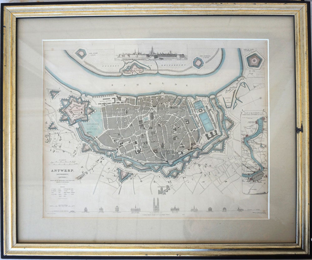
(Map of) Antwerp (Antwerpen) (Anvers).
London: Charles Knight & Co, 22, Ludgate Street, c. 1844. Framed map. Engraved & printed by B. R. Davies. Town plan of Antwerp with insets of the Schelde river and a view of the fortified wall and profiles of important buildings. Period hand color highlighting several areas. Nicely framed in an acid free mat. Sorry, no shipping. Very good condition. Item #27640
Price: $125.00
See all items in
MAPS
See all items by SDUK, Society for the Diffusion of Knowlege