
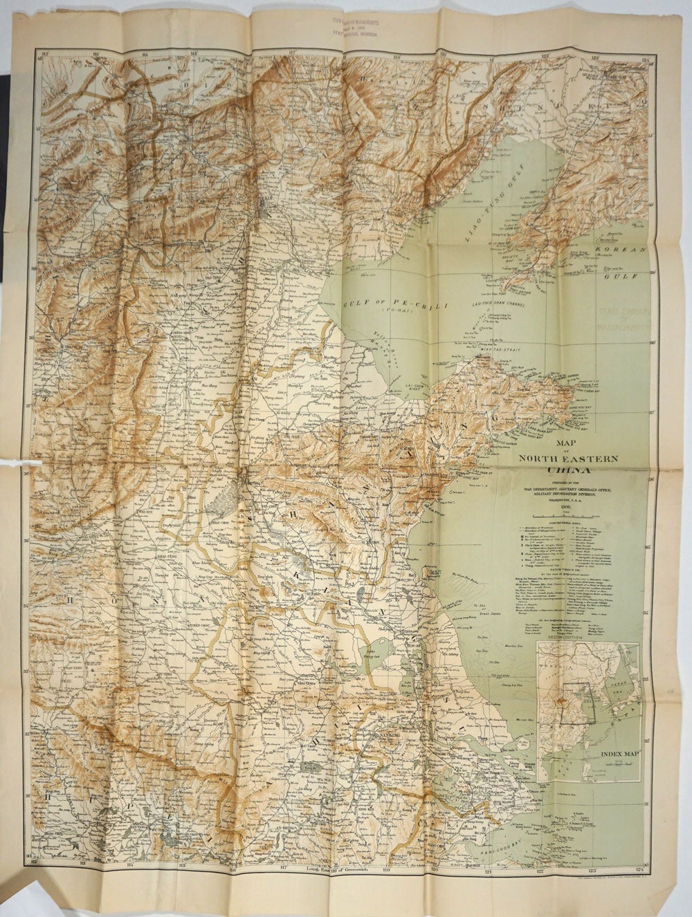
Map of North Eastern China, prepared in the War Department, Adjutant General's Office, Military Information Division.
Washington DC: Norris Peters Co., 1900. Second edition. Paper map covering Mt. Suma Hada in the West to Sheng King, and South to Hang Chou Bay, with inset Index Map showing proximity to Japan.
Printed in brown and green, later printed in b&w by National Geographic Society. 30 x 59", original folds, splits at fold lines, otherwise vgc. Item #27824
Price: $175.00