
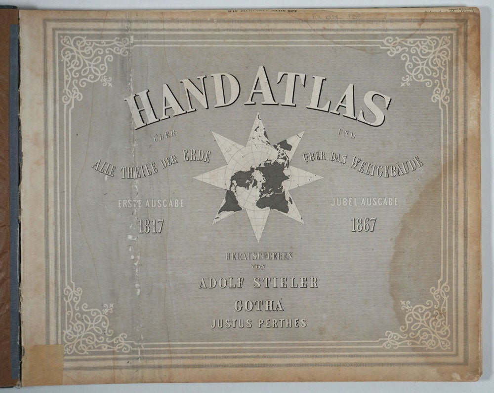
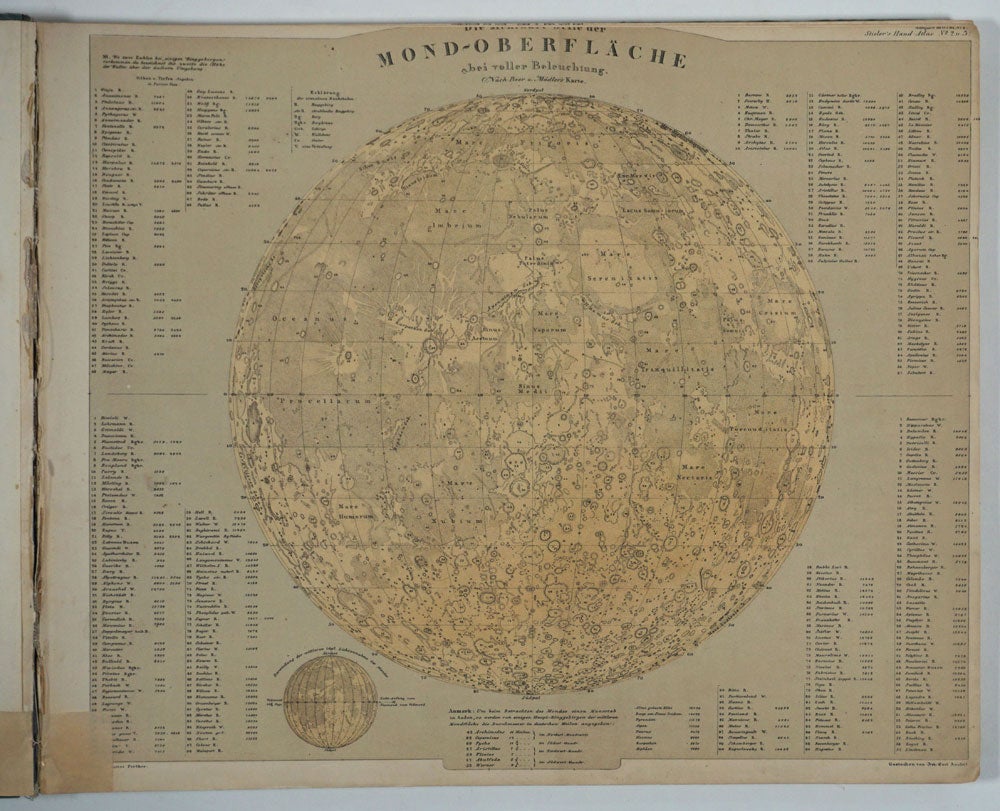
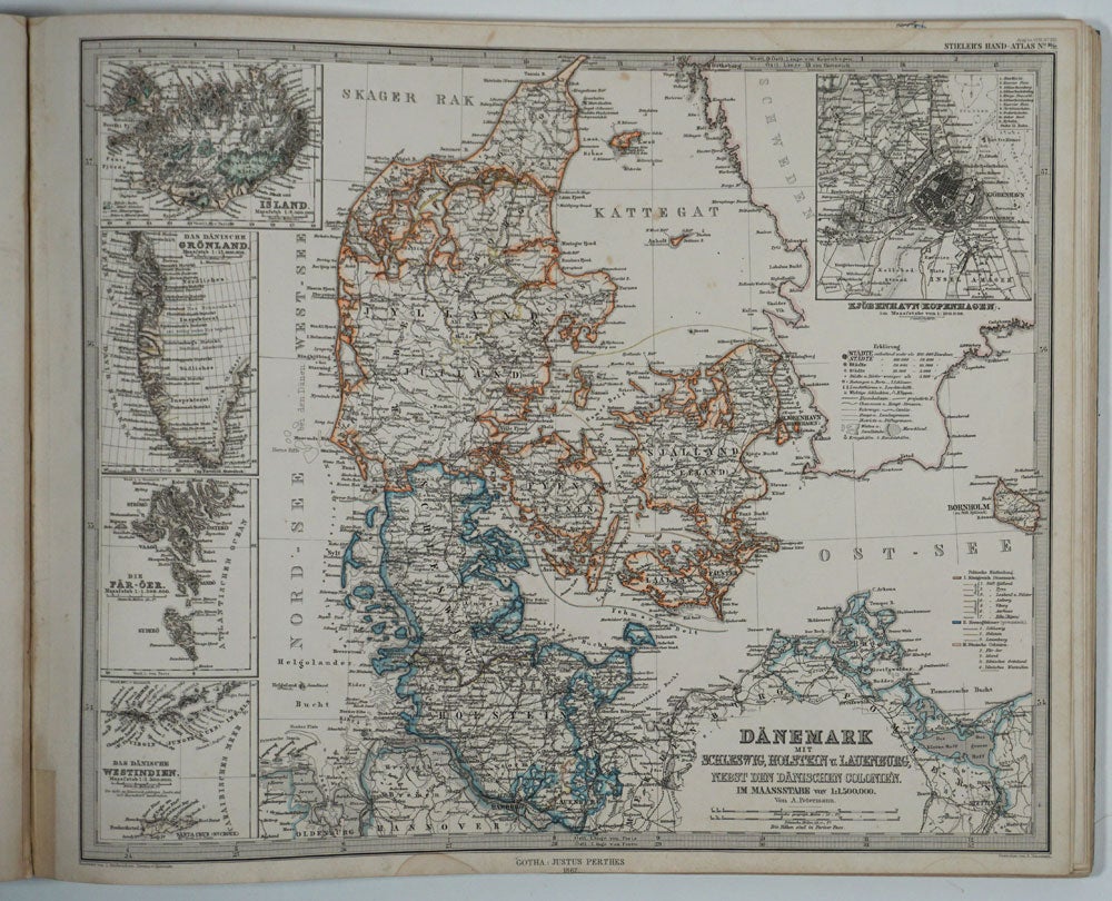
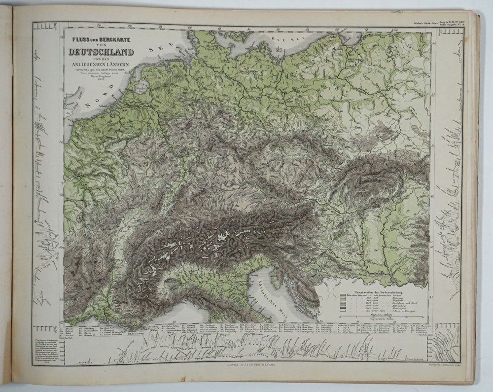
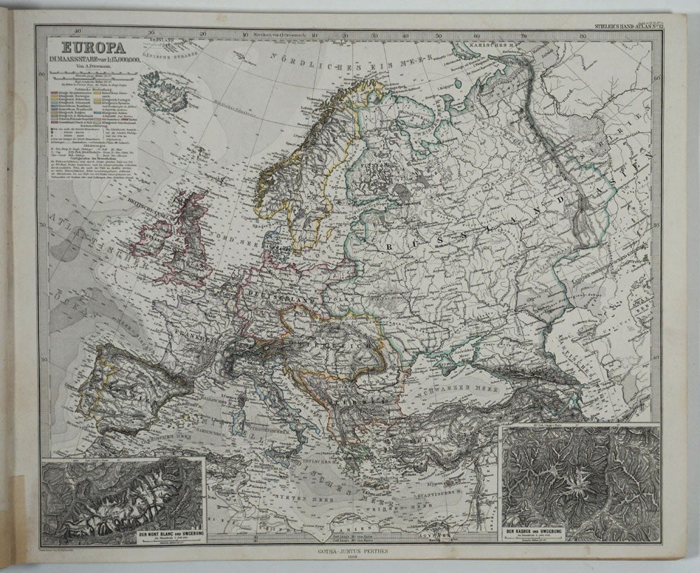
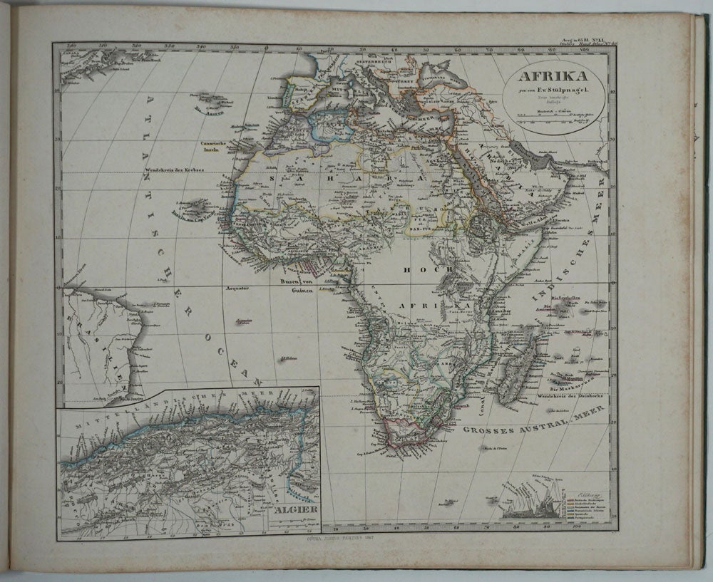
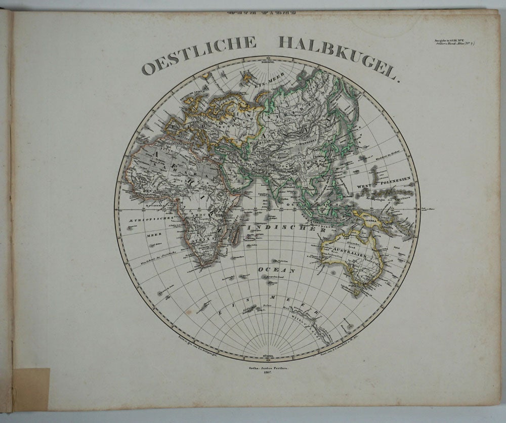
Hand Atlas. 1868. 84 Karten (maps).
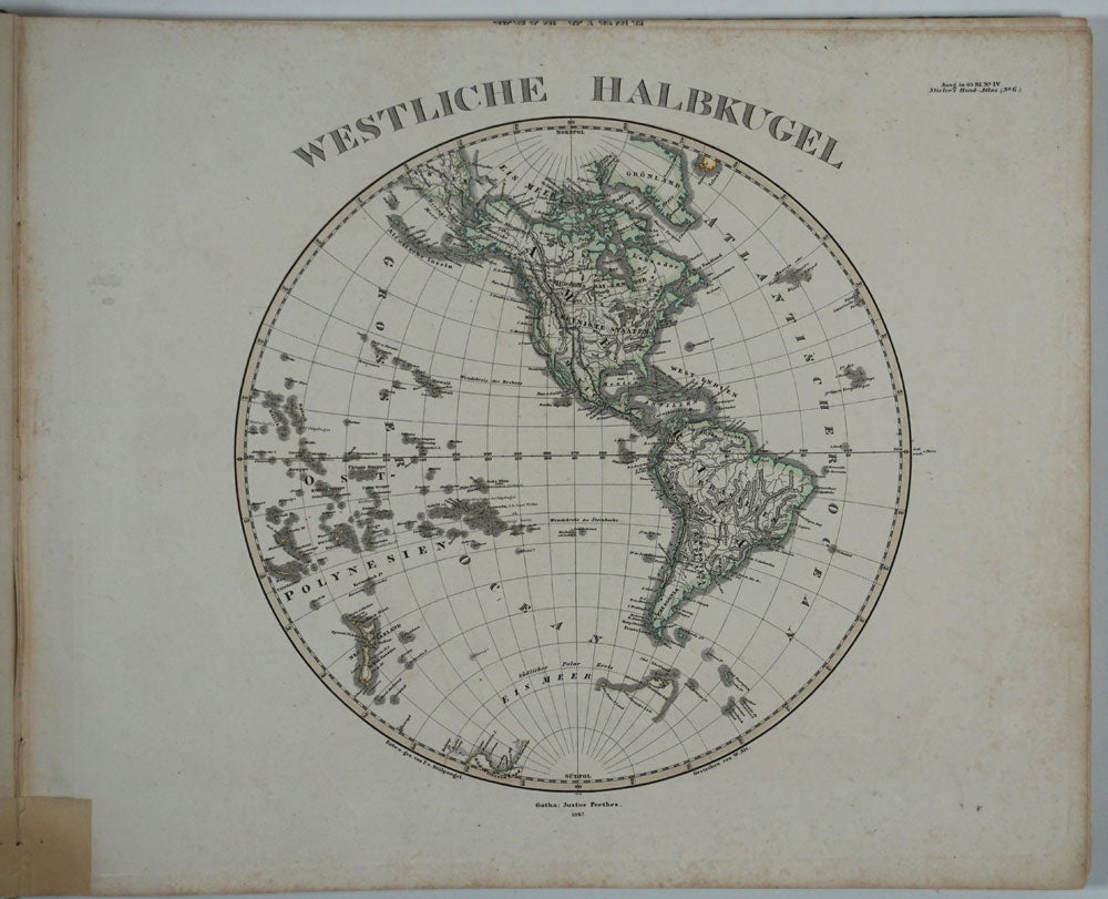
Gotha: Justus Perthes, 1868. Wraps. Oblong folio atlas with 84 steel engraved maps with period outline color. Beautiful color steel engraved maps, unfolded, including the moon's surface, celestial maps, hemisphere maps, the winds, Europe, Africa, North & South America, Australia, Middle East, most with insets of principal cities. In the US maps many of the western states appear as territories
Detailed Arctic & Antarctic maps, with explorers tracks, dates & soundings. Handsome, precise maps.
Sturdily but rather unusually bound in green wrappers with green cloth spine. With the dated notice at the rear, "Vorbericht zu Stieler's Hand-Atlas Zehnte auglage 1868", ii, 10pp, dated November 1868, 8 1/2 x 12". A little marking on foredge of title page along with a crease near inner hinge. Very good overall. Item #8534
Price: $600.00