
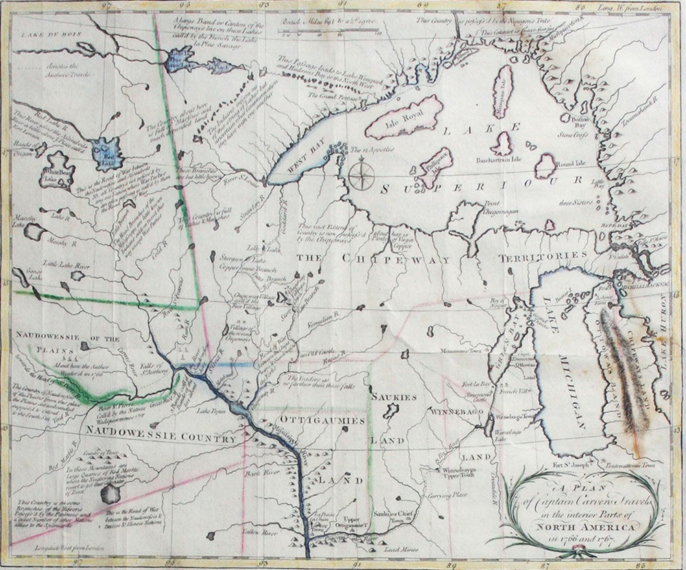
A Plan of Captain Carvers Travels in the interior Parts of North America.
London: J. Walter, 1778. A seldom-seen map by a British officer, one of the earliest to show "actual results of British exploration of the interior." (Wheat). It was issued with Carver's, "Travels through the Interior Parts of North-America, in the Years 1766, 1767, and 1768", considered one of the earliest and best accounts of the frontier in Minnesota and Wisconsin.
"The delineation of the lower St. Peter (Minneosta) River was based on his (Carver's) visit to that region in 1766-67 as the first English-speaking explorer to push beyond the upper Mississipi River valley. The western interior, however, was copied from Bellin's map of 1755, which in turn was derived from the maps of La Verendrye. One innovation introduced by Carver is a dotted line connecting the Mandan River (the Great Bend of the Missouri River) with the imaginary "River of the West," which empties into the Pacific Ocean. This misconception led later American explorers to believe that the Pacific Ocean could be reached by a direct water route." III.i, p. 186-7, Luebke et al, "Mapping the North American Plains", Univ. of Oklahoma, 1987.
The map is filled with details and notations such as "Traders go no farther than these falls" and "seldom travel this way except War Parties" and many more. The route of Carver's travels are clearly shown along the Mississippi, Fox, Minnesota and St. Pierre rivers. The map extends from Michigan, here labeled Chipeways and Ottowas Land, to above Lake Superior and west to beyond the Minnesota River. After the French and Indian War the peace settlement gave the British eastern Minnesota, opening the vast territory to their fur traders. Carver spent the winter of 1766-67 with the Sioux on the Minnesota River. He then joined Capt. James Tute's expedition as the mapmaker. Tute's plan was to cross the continent in quest of the Northwest Passage. The plan was not successful but their explorations led Carver to later publish an account of his travels. Carver is credited with traveling farther into the unknown West than any other English explorer before the Revolution. " (Old World Auctions).
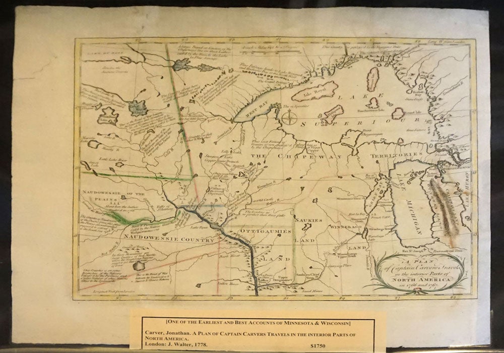
Image size 13.5x10.5", platemark 1/4" around the printed image plus wide margins on three sides, margin added on right side. Copper engraving, faint outline color. Neat restoration to a gap in the top margin. Old folds. OCLC: 312478177; Rumsey #5915. Very good overall. Item #20492
Price: $1,750.00