
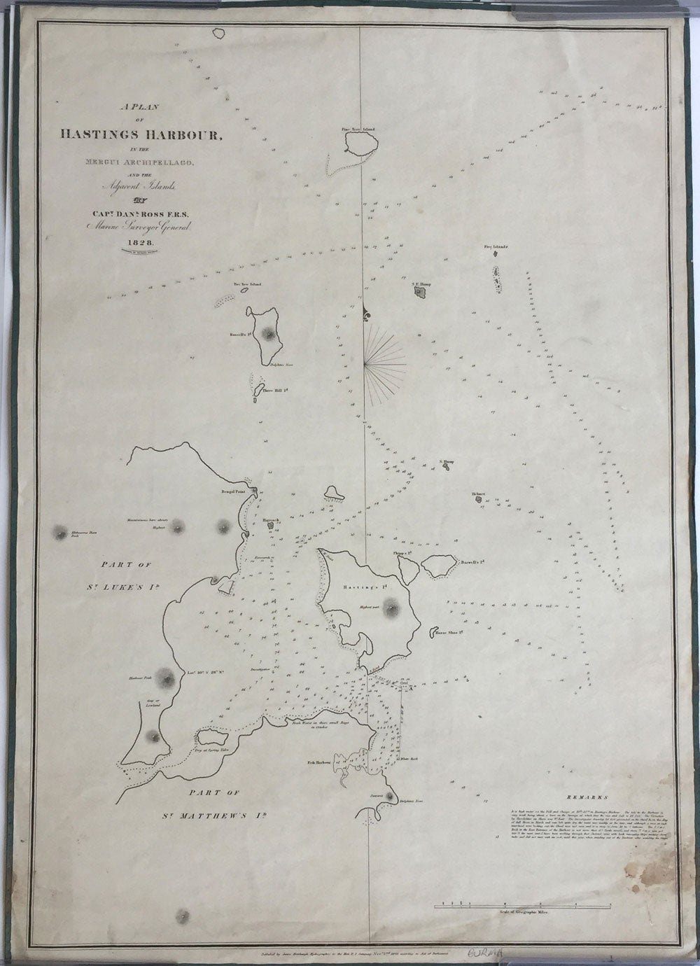
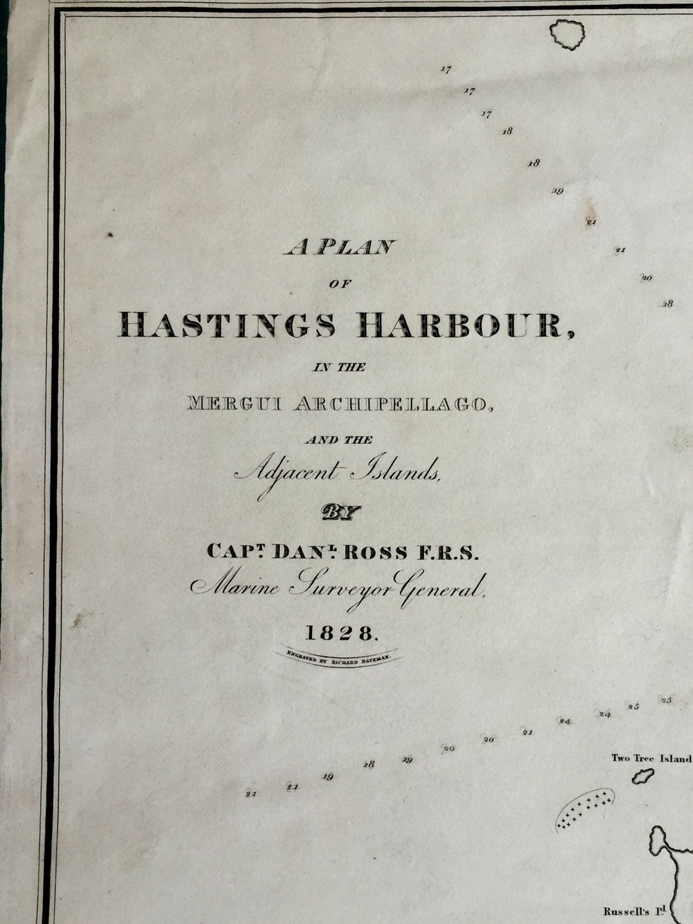
A Plan of Hastings Harbour, in the Mergui Archipelago, and the Adjacent Islands, by Capt. Danl. Ross, F.R.S. Marine Surveyor General 1828.
London: James Horsburgh, Nov. 2nd 1829. Maps. A rare map of islands in the Andaman Sea, Burma, surveyed by Daniel Ross, known as the "Father of the Indian Surveys." Captain Ross was engaged in surveying the coast of China from 1806-1820. His highly accurate & trigonometrical charts were published as they were completed, and the whole were incorporated into Horsburgh's general charts. In 1823, he became the Marine Surveyor General. Clements Markham, in "A Memoir on the Indian Surveys" (1871) stated that "During the Burmese War from 1823 to 1826 the useful operations under his superintendency were interrupted..." and despite a "fit of ruinous economy" in 1828, Ross resumed his good work and in 1830, again had two brigs (surveying) in the Mergui Archipelago. The map was surveyed on the heels of the First Burmese War, perhaps with thoughts of being prepared for another war, and another, which fortunately did not start again until the 1850s. The map shows the islands Hasting's, St. Matthew's and St. Luke's, now named Hastings, Zadetkalay and Zadetkyi. Other islands include Pine Tree, Russell's, Three Hill, Phipp's, Barwell's and Horse Shoe Island, mostly appearing as Kawthaung on Google maps.
James Horsburgh (1762 -1836) was a Scottish hydrographer who worked for the British East India Company and charted much of South East Asia in the late 18th and early 19th centuries. When he retired from the sea in 1806, he produced a Sailing Directory to the East and in 1810 was appointed as hydrographer to the East India Company where he revised the Directory, publishing editions in 1816-7, 1826-7, and 1836. After his death the Admiralty took up the Directory and released editions in 1841, 1852, 1855, and 1864. his charts eventually passed to the Admiralty Hydrographic Office who also reissued them.
Sea chart backed on linen and edged in blue silk, 19 1/2 x 22". Some spotting in the lower right corner (water) but otherwise remarkable clean and fresh, including the silk ties. "Engraved by Richard Bateman" beneath the title. The British Library holds a copy (BLL01004857047) but not noted on OCLC. Otherwise very good condition. Item #22345
Price: $2,250.00