
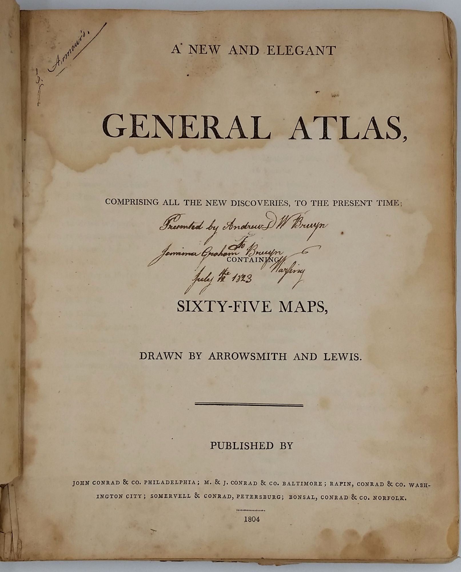

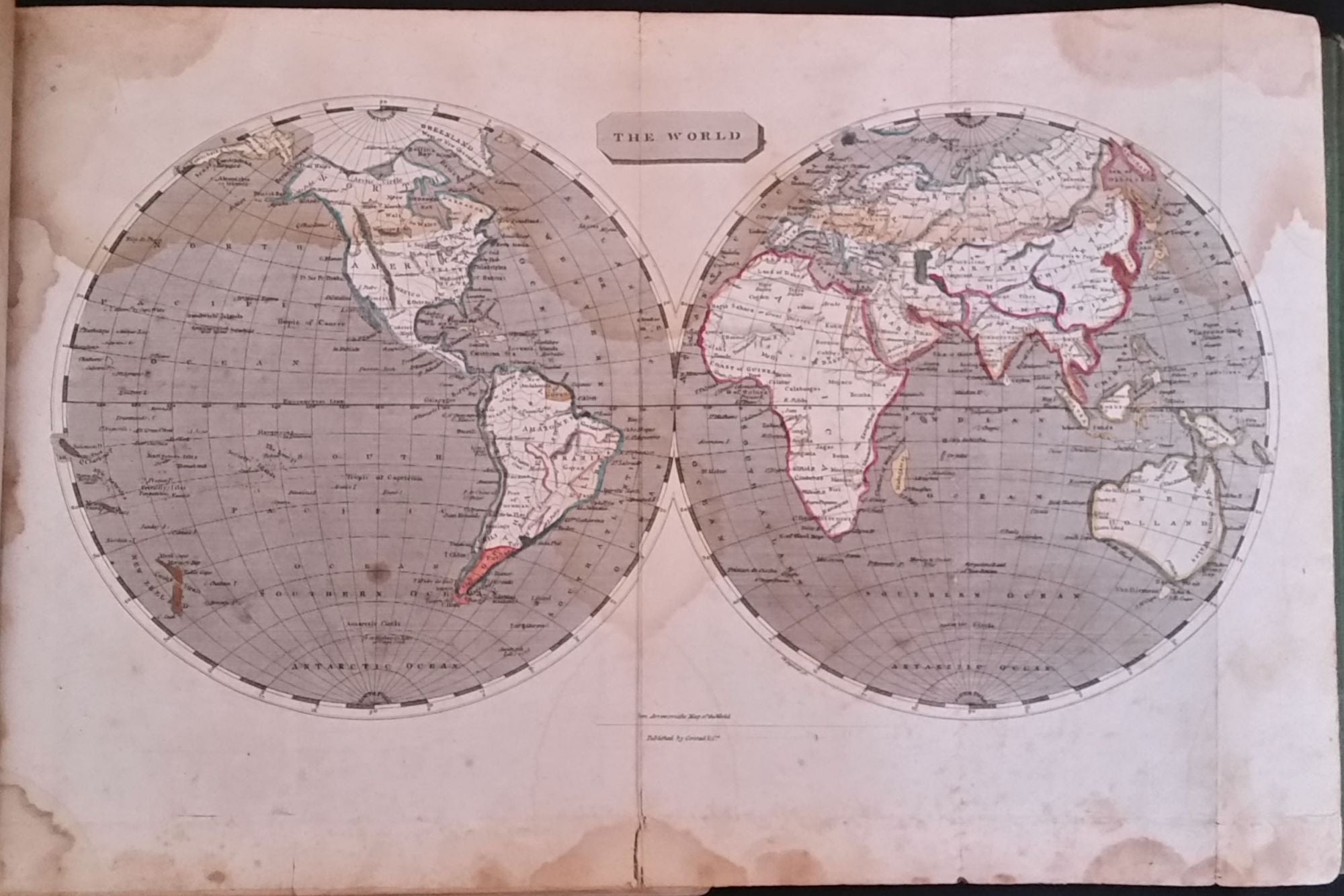
A New and Elegant General Atlas, comprising all the new discoveries, to the present time; containing Sixty-Five Maps, drawn by Arrowsmith and Lewis.
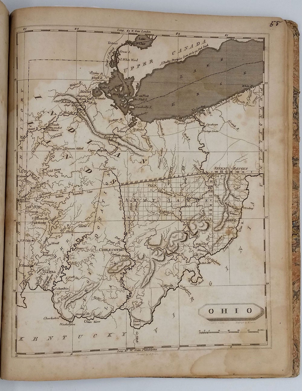
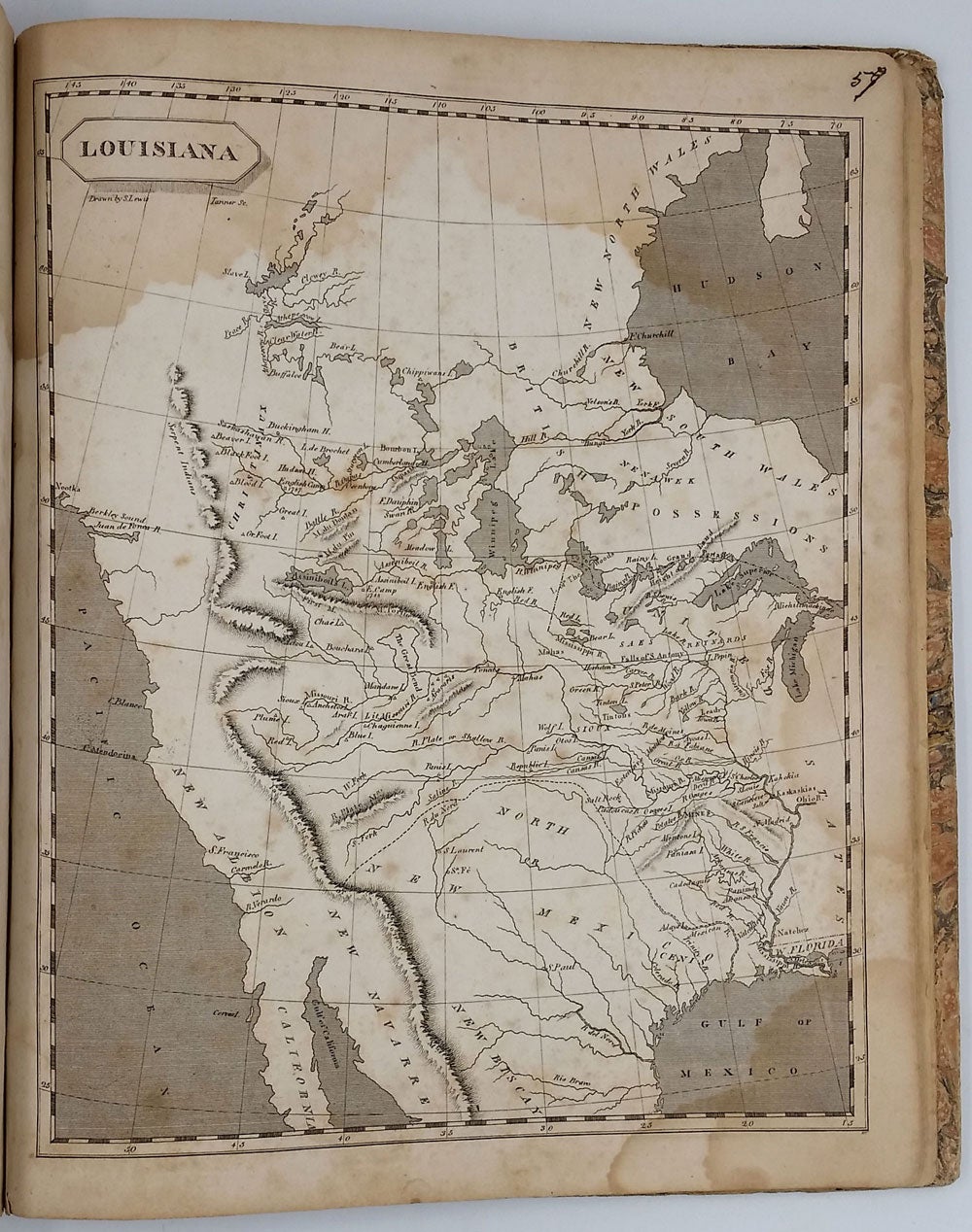
Philadelphia: John Conrad & Co; M. & J. Conrad & Co. Baltimore; Rapin, Conrad & co. Washington City; Somervell & Conrad, Petersburg; Bonsal, Conrad & co. Norfolk, 1804. First edition, first issue. First edition, first issue of Arrowsmith and Lewis's important little atlas, complete with 63 maps. This first issue incorrectly lists "Sixty-Five Maps" on the title page, but maps #6 of England and #33 of the Asiatic Isles were never issued. The second state, issued the same year, corrects the title page to "Sixty-Three Maps" and revises the "List of Maps" to reflect 63 maps. The maps are the same in both of the issues. The atlas contains the first printed map of the state of Ohio, which had been admitted to the Union in 1803. The original thirteen states are included as well as the District of Maine, Vermont, Kentucky, Tennessee, Ohio, Mississippi Territory and Louisiana. Wheat lists four of the maps included in this atlas and considers them to be significant - Louisiana (Wheat 259), British Possessions in America (Wheat 260), Spanish Dominions in North America (Wheat 261) and North America (Wheat 262) - and says of them collectively "When considered together the four afford a remarkably clear epitome of the knowledge of the West at the moment when Meriwether Lewis and William Clark were poised for the take-off of their history-making expedition." Paul Cohen describes the Louisiana map in "Mapping the West" stating that although it is as equally inaccurate as the Soulard version, "[the Samuel Lewis map] ... was the primary map of the newly purchased territory of Louisiana and its surroundings and, as such, reflected and shaped American popular geographical images of the western interior at the time of Lewis and Clark."
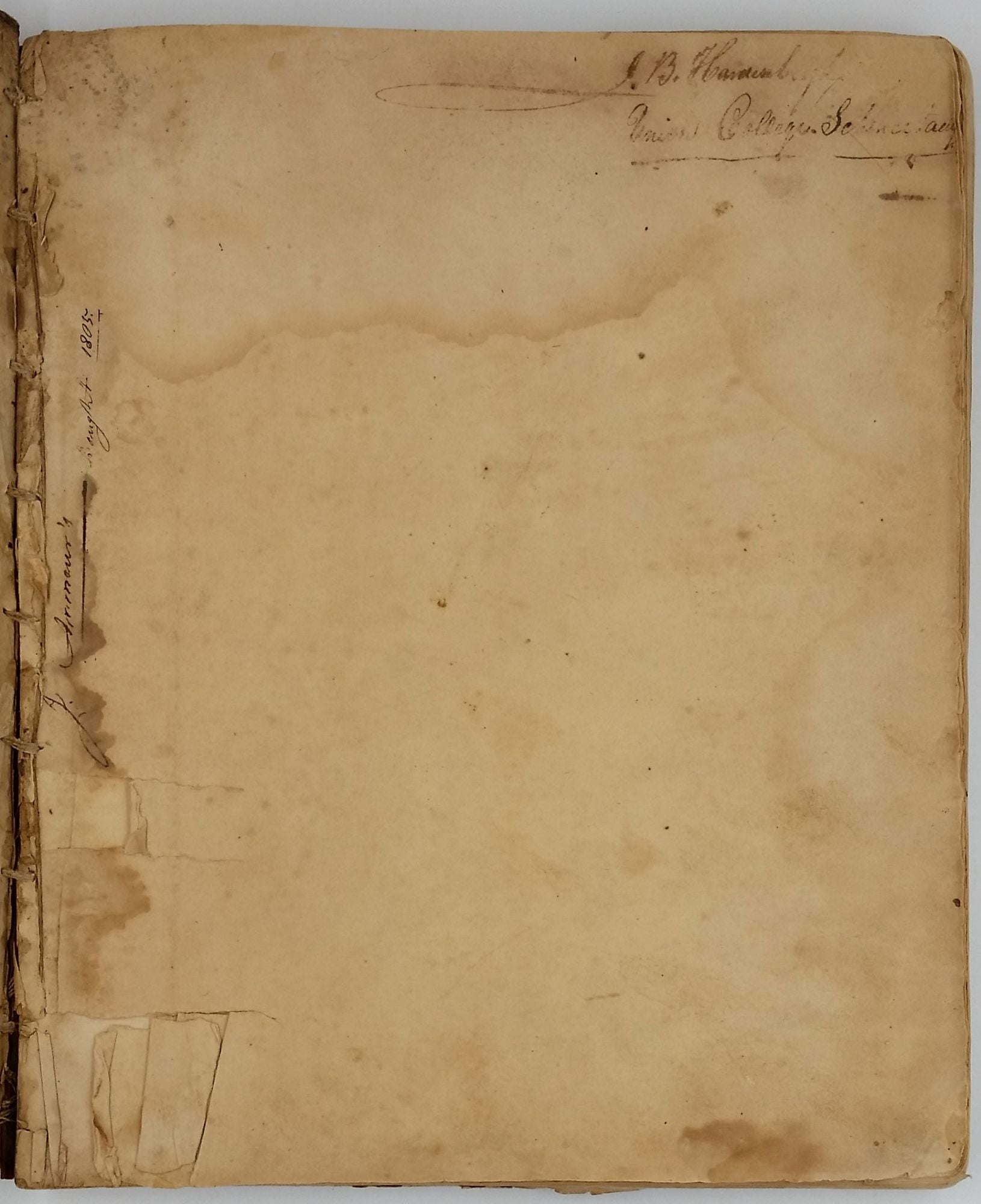
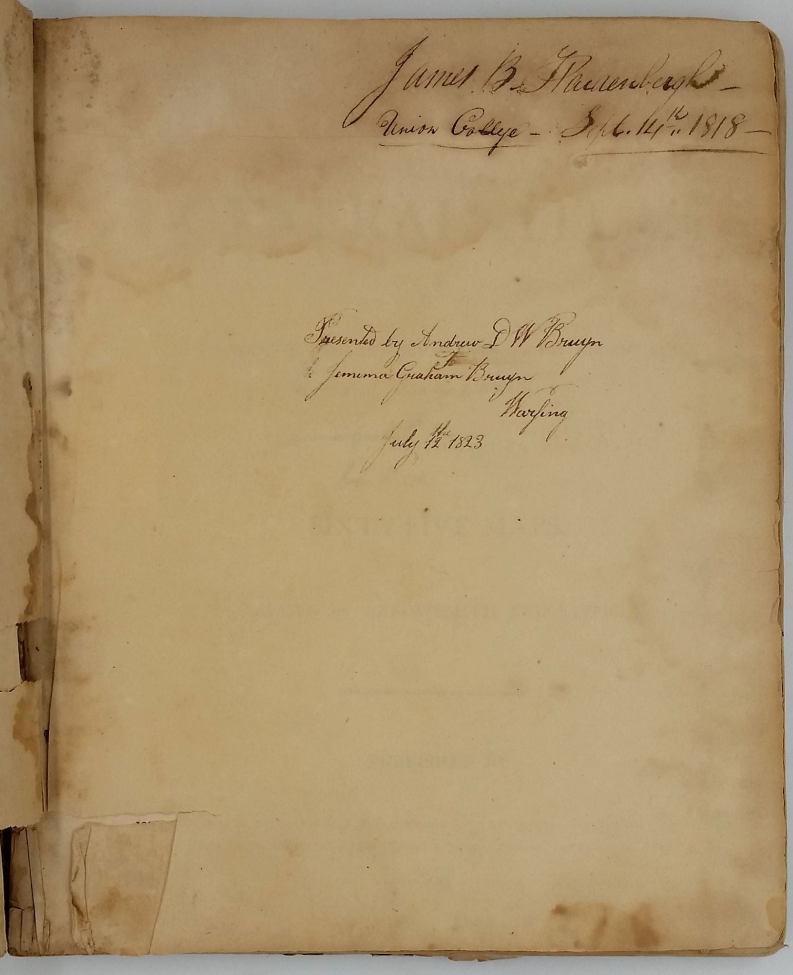
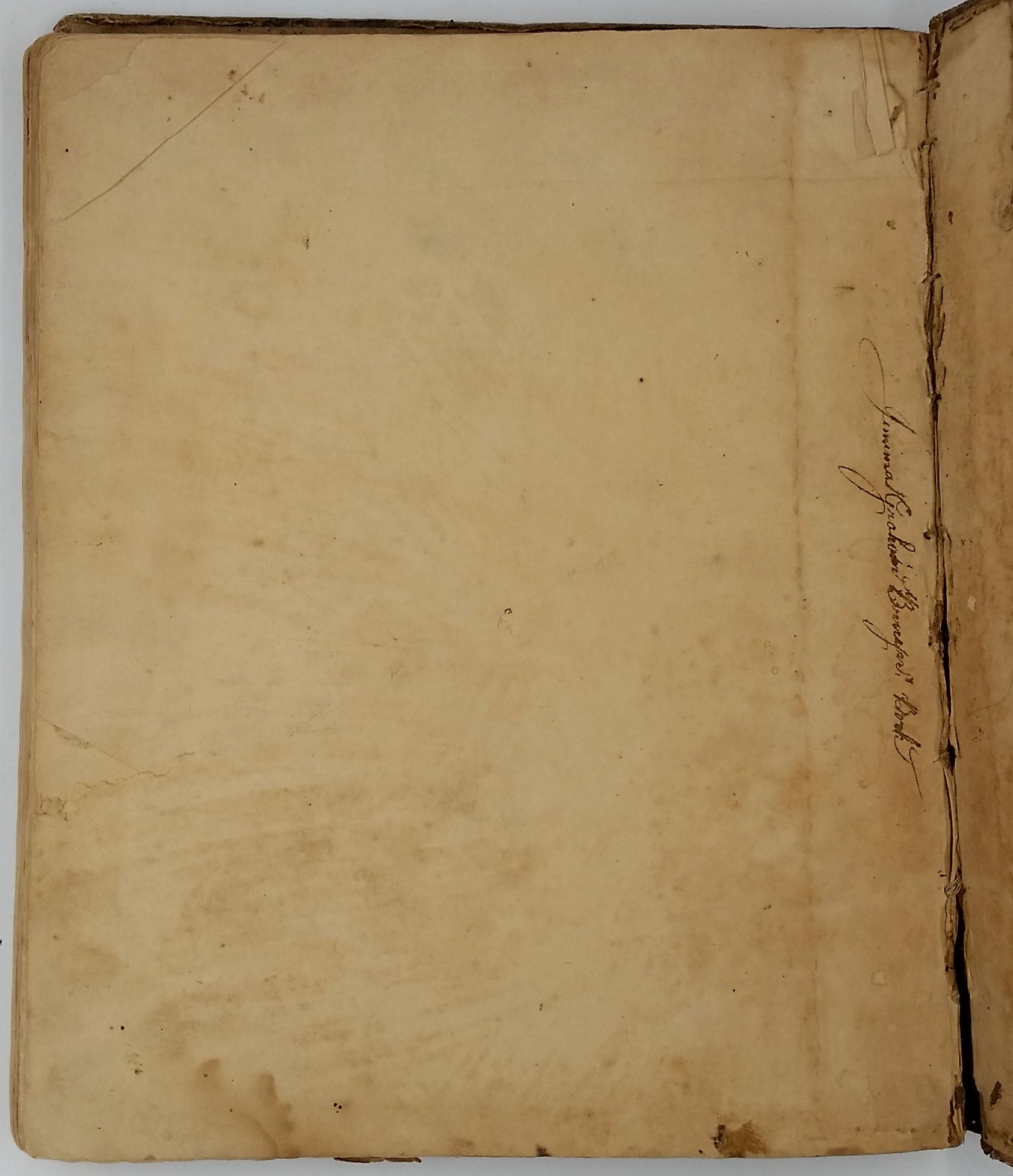
With an interesting NY Revolutionary War and Ulster County provenance, with three different owners. The first ffep is signed "J. Armour's bought 1805"; this end paper is also signed "James B. Hardenburgh Union College 1 Sept. 14th 1818". He is undoubtedly a descendent of Johannes Hardenburgh, head of the 1st regiment of the Ulster County Militia for twenty years "...was a member of the Colonial Assembly from 1743 to 1750, and of the State Legislature in 1781 and 1782, and he was a member of the First Provincial Congress." (LeFevre, History of New Paltz.). The third inscription is "Presented by Andrew D. W. Bruyn to Jemima Graham Bruyn, Warsing, July the 12, 1823." The Bruyn family were a prominent Ulster County NY family. James S. Bruyn was the Lieut. Colonel of the 5th line of the New York Revolutionary War soldiers. (See "New York in the Revolution", 1901, p. 276. )
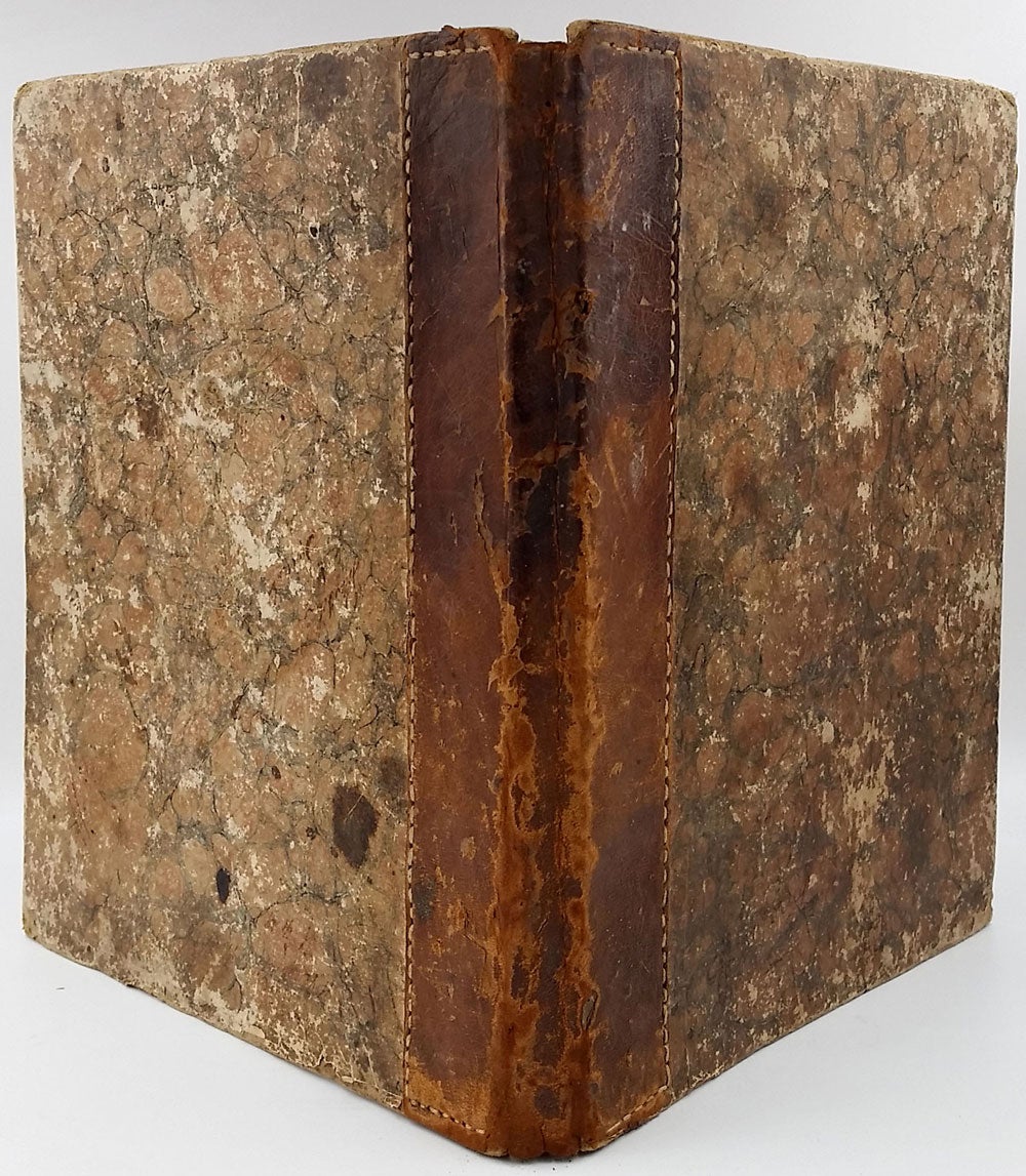
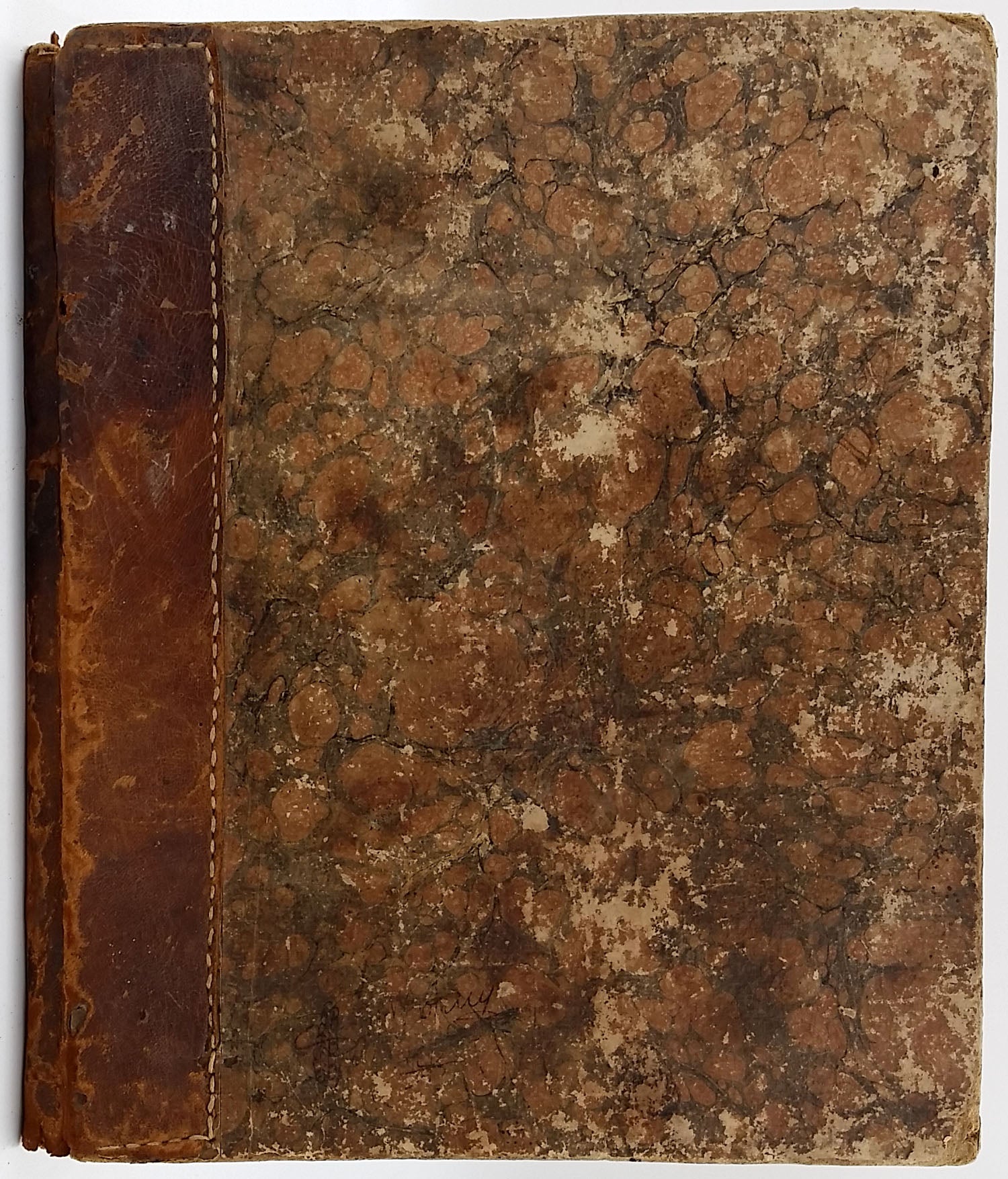
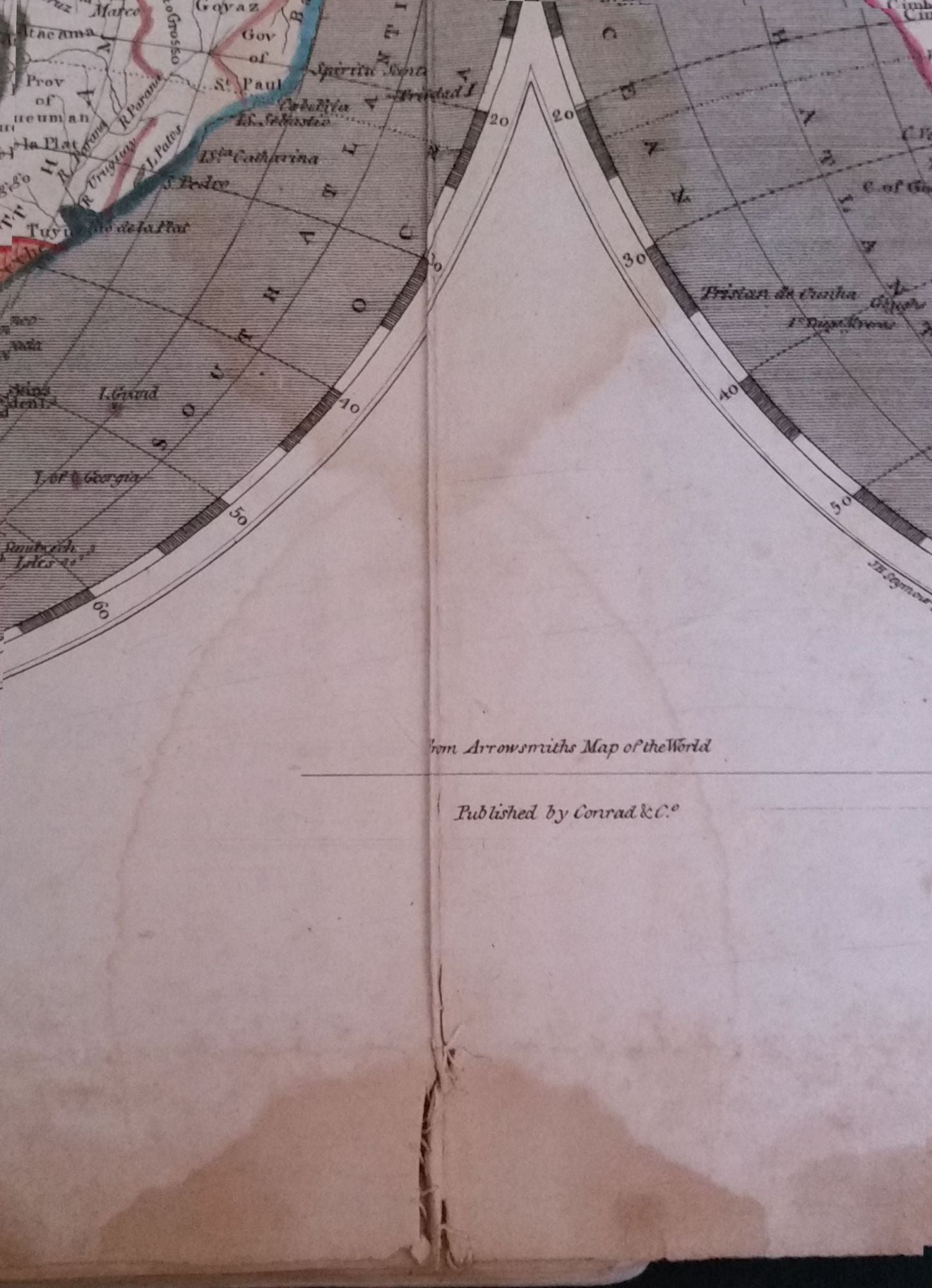
4to., 9 1/4 x 11 1/4 inches. Strong impressions of 63 engraved maps, several of which are folding, complete as issued, with title page and list of maps and numbered in ink manuscript in upper right corners. The first 15 maps with some later not-unpleasant outline color. Two front free endpapers with some damage and minor loss along the inside bottom margin. Some heavy foxing and water staining. Original marbled paper boards somewhat scuffed; a charming hand-sewn leather spine added most likely around the 1840s, stabilizing the book; it is rubbed with a small split. Only one map has a tear, the hemisphere map is split partially on a fold, but is elegantly sewn together by someone with amazing sewing skills; there is a small closed tear in the margin of Massachusetts, New York, Georgia; slight nick in the margin of Maine & New Jersey; blank corner of the margin of Maryland missing.
OCLC: 58672166 cites only two copies, at the New York Historical Society and the Library Company of Philadelphia. Not in Shaw & Shoemaker; Ristow p. 265; Phillips 702. Not held by the David Rumsey Collection. Oldmaps.com price records from 1983-2017 record only one copy of the first issue of the first edition, 1804 (with the "Sixty-Five Maps" on the title page.) It appeared at Swann Galleries in the collection of Mark Babinski in 2005, achieving $3220.
A rare atlas. Item #23588
Sold